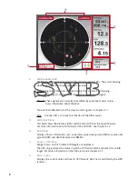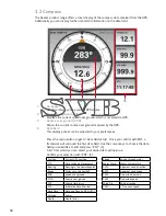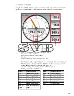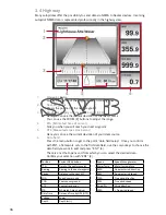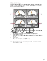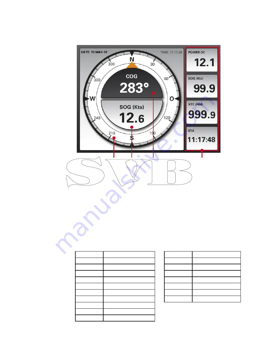
1. Compass
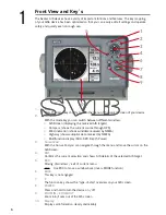
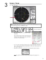
Graphical display of the current GPS course.
2.
Speed over ground (SOG)
Displays the current speed over ground, which is received via GPS.
3.
Course over ground (COG)
Shows the current course over ground received by the GPS.
4.
Data field
This display pannel can be adjusted to your preferences.
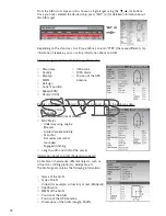
Press the menu button to get to “data field setup”. Once you confirm with ENT, a
framework will surround the first data field. Use the cursor keys to choose the data
field you would like to edit and press “ENT” (4).
A list from which you can select your disired data will open up.
Confirm your selection with “ENT” (4).
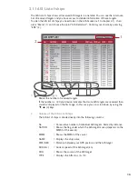
3.2 Compass
Position
Current GPS position
TTG
Time to the next waypoint
Bearing
Bearing to the next waypoint
Range
Distance to the next WP
SOG
Speed over ground
COG
Course over ground
XTE
Course track error
ETA
Estimated time of arrival
Date Time
Date and Time by GPS (UTC)
Voltage
Power
Depth
Depth (mtr.)
Speed
Speed through water
Water Temp.
Water temperature
AWA
Apparent wind direction
AWS
Apparent wind speed
TWA
True wind direction
TWS
True wind speed
Wind Dir.
Wind direction
VMG
> True wind speed
The Seatec product range offers a clear display of the compass data received from the GPS.
Additionally you can display further important information on the data field.
13
1
2
3
4
Summary of Contents for AIS6
Page 1: ...User Manual AIS6 MFR6...


