User Guide
57
4-9
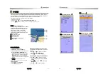
Other settings
Press long
then select
Others:
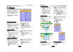
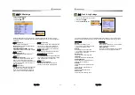
4-9-1 Simulate
Simulate :
Turn the simulate mode on or off.
Mode :
See 2-5 Simulate Mode.
Speed :
The simulated boat speed to use.
Course :
The simulated course over ground.
Route :
The route to follow.
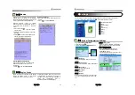
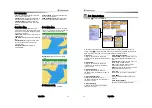
4-9-2 Waypoint
Select a way to display waypoints.
4-9-3 GPS
See 4-4 GPS Settings.
4-9-4 Units
Select a unit of each measure.
Tip:
Requires a optional VHF receiver
with barometer connected
:
InHg or mB.
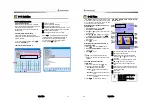
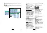
4-8-5 Comms.
Use this feature when the unit is connected
to other marine electronics through any
compatible NMEA instrument.
NMEA0183-1:
This option to transmit NMEA
sentences to other marine electronics.
NMEA0183-1 is generally used with third
party marine electronics. Select a port
(NMEA0183-Port 1), a communication speed
and select a desired output data
.
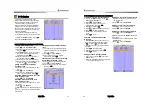
4-9-6 Time
Local offset :
The time information supplied
by the GPS satellites is in UTC (Universal
Time Coordinates). To read the correct time,
change the time of GPS chart plotter for
daylight saving time start and end.
Time format :
Select the format of time.
Date format :
Select the format of date.
4-9-7 Restore default
Returns every other setting to default
User Guide
58
Correct installation is important to the performance of the unit. It is vital to read the entire
installation section of this manual and the documentation that comes with the antenna and any
other units before starting installation. For further information, please contact Samyung ENC.
5-1 Options and Accessories
Optional sensors and instruments
•
GPS or DGPS Antenna
•
DSC VHF Radio
•
Other instruments:
The chart plotter can
receive data from other instruments and
send data to other instruments by NMEA.
.
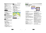
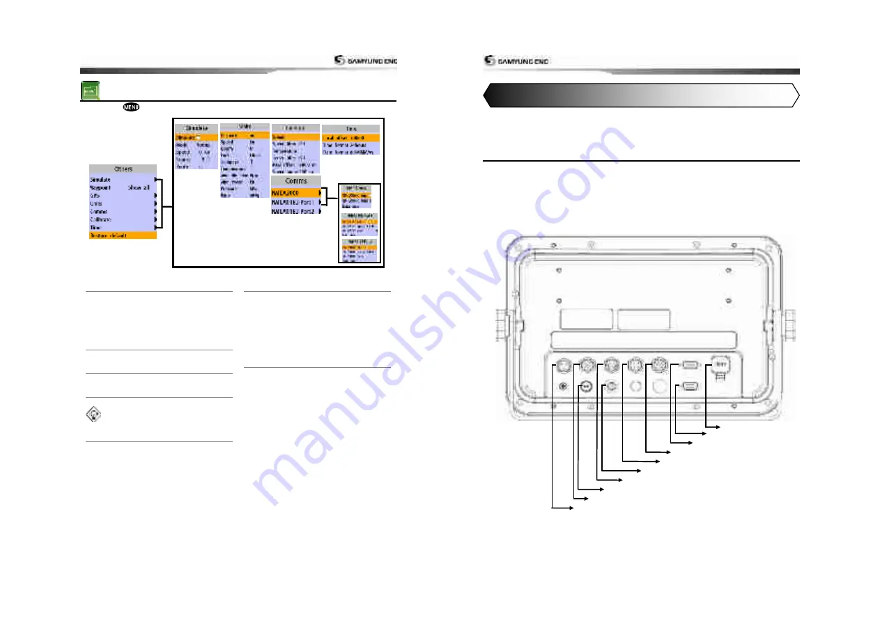
Connections
5. INSTALLATION
USB Connection
CCTV Connection
RGB Power
Transducer
Data
GPS
External Remote Control
FUSE
DGPS
Power
Summary of Contents for N5100
Page 1: ...User Guide 1 User Guide 2...
Page 33: ...User Guide 65 User Guide 66...


