ISOBUS-TC task processing
Using fields and shp data
10
31302713-02-EN
V5.20170221
67
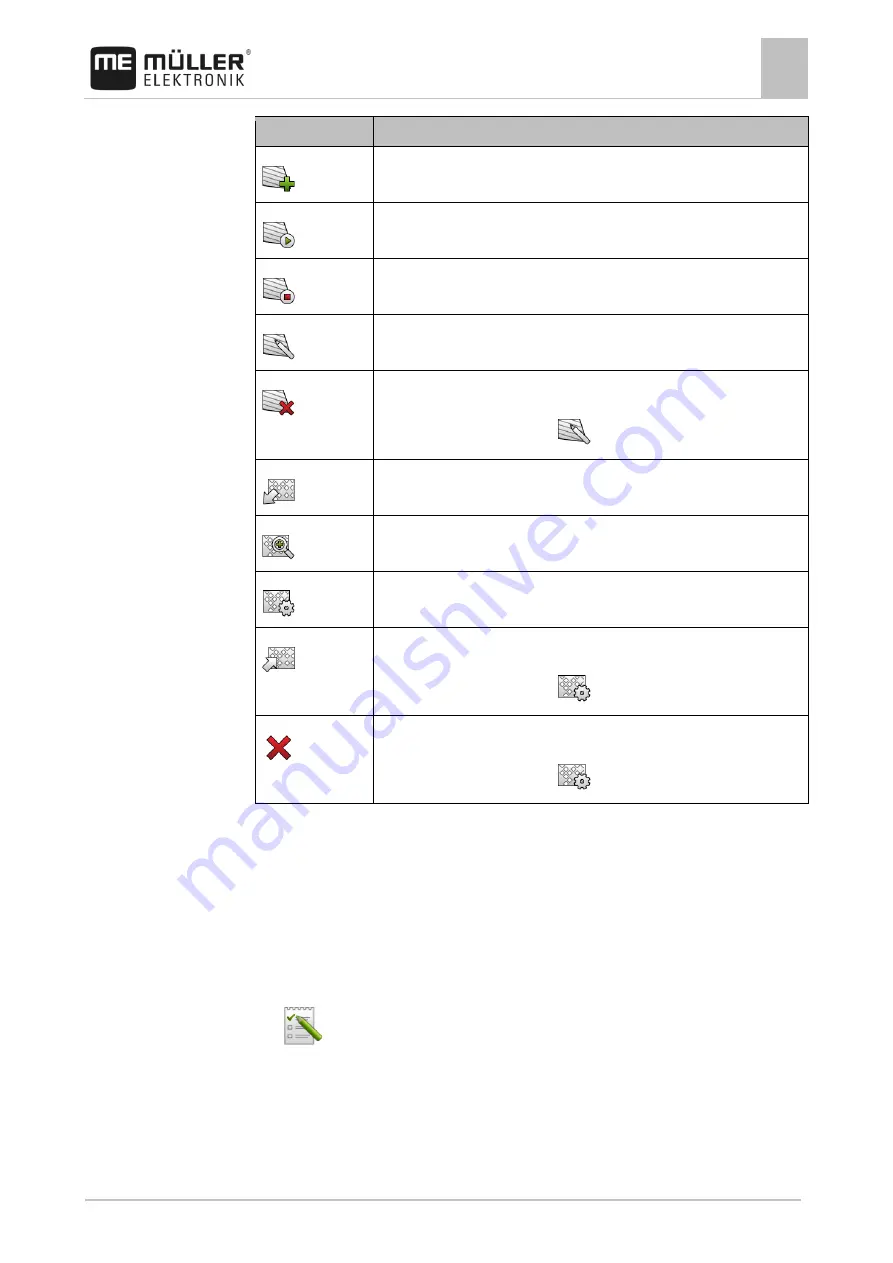
Icon
Function
Creates a new field.
Activates the field.
Deactivates the field.
Enables editing of the field properties.
Deletes the field.
Icon only appears when you tap
.
Enables the import of field data.
Displays the loaded prescription map.
Displays the imported field data.
Enables the export of field data.
Icon only appears when you tap
.
Deletes the selected data.
Icon only appears when you tap
.
What is field data for?
All field properties that are stored in this way can be used when working in TRACK-Leader. To do so,
you must activate the field to be processed in ISOBUS-TC before each navigation.
Creating fields
To create a new field:
1.
- Open the ISOBUS-TC application.
2.
Tap "Fields".
⇨
A list with already created fields appears. You can store various field data for each field. For
example: Field name, area, field boundary, prescription map and obstacles. You can access
this data when you work on the same field in the future.
10.3.1
Purpose
10.3.2
Procedure


