


W W W . K A A R T A . C O M
8 2
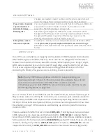
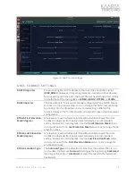
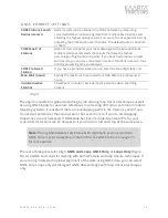
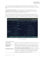
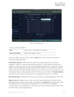
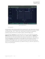
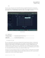
F INE ALIG N SE TTING S
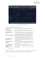
Minimum GNSS Fix
Quality
Uses the GNSS fix quality to eliminate GNSS points
where the quality is too low for use in alignment. You
can choose between fix quality of Automatic, GPS (1),
DGPS (2), RTK Float (5) and RTK (4), in order of accuracy
from least accurate GPS to most accurate.
Maximum HDOP
value
Uses the Horizontal Dilution of Precision (HDOP) error
estimate to eliminate GNSS points where the quality is
too low or noisy for use in alignment. Values range
from 1 (ideal) to >20 (poor). Default value is 0 (not
used).
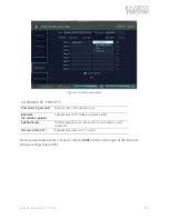
Maximum VDOP
value
Uses the Vertical Dilution of Precision (VDOP) error
estimate to eliminate GNSS points where the quality is
too low or noisy for use in alignment. Values range
from 1 (ideal) to >20 (poor). Default value is 0 (not
used).
Maximum PDOP value
Uses the Position Dilution of Precision (PDOP) error
estimate to eliminate GNSS points where the quality is
too low or noisy for use in alignment. Values range
from 1 (ideal) to >20 (poor). Default value is 0 (not
used).
Run Stage 2
Checkbox to include an output file after processing.
Default value is checked on.
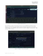
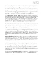
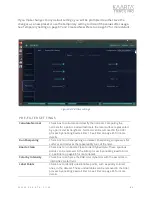
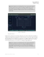
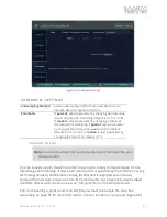
If you make changes to any default settings, you will be prompted to either save the
changes as a new preset or use the temporary setting to discard the values after usage.
See Temporary Setting on page 67 and Create a New Preset on page 67 for more details.
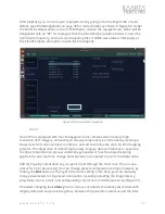
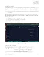
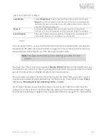
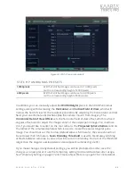
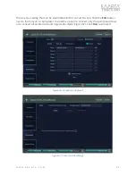
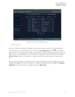
Pre-Filter
Preparing for filtering or Pre-Filtering a Stencil Map is a combination of cleaning,
sharpening, floor leveling, and classifying normals for improved data quality. The removal
of points based on these Pre-Filter calculations can be accomplished in the Filtering
process, discussed on page 85.
There are two presets for Pre-Filtering calculations:
Clean
, and
Clean and Sharpen
(Figure 57). Cleaning calculates outliers, noise, and other unwanted data in the point
cloud, while Sharpening compresses flat surfaces. This reduces the repeatability blur of
the lidar.