


22
Reference
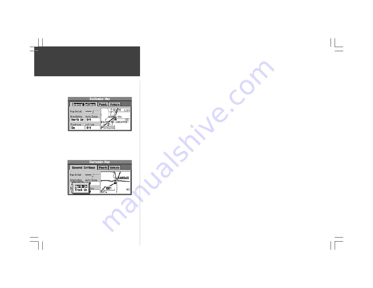
Customizing the Map
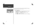
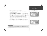
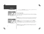
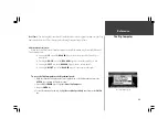
When you select
Customize Map
from the Map Page options, a page is displayed with three file
tabs, ‘General Settings’, ‘Points’, and ‘Vehicle’ (top left picture).
‘General Settings’ File Tab
The General Settings File Tab includes a map window to the side. It allows you to monitor the
vehicle’s motion and view the effect of changes you have made immediately. You may even zoom
IN
and
OUT
on this map window.
Map Detail -
A slider control allows you to increase or decrease the amount of map information shown
on a given map range. You can increase the detail level when driving in non-urban areas in order to see
more information, in urban areas, you may want to decrease the map detail for increased map clarity.
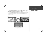
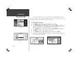
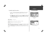
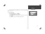
Orientation
- Allows you to set the orientation of the map display. You can choose
North Up
or
Track Up
(middle left picture). The advantage of
North Up
is that it looks like paper maps. The
advantage of
Track Up
is that the picture on the screen represents what you see out the windshield of
your vehicle, placing streets and points near the top of the screen that are in front of your vehicle.
Auto Zoom
- When the Auto Zoom is
On
and the StreetPilot is navigating on a Direct Goto or Route,
the StreetPilot will automatically adjust the map zoom so that the next waypoint is on the map screen.
Auto Zoom is set for
Off
at the factory.
‘Customize Map’ Screen
‘Orientation’ Options


