11
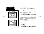
You are now underway toward the first waypoint in your route. Whenever
there is an active route in use for navigation, the GPSMAP will display route
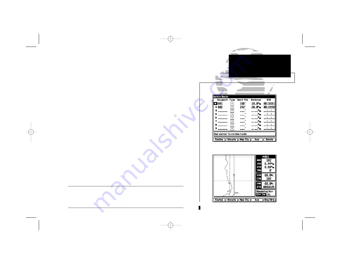
waypoint and leg information on the Active Route Page. To view the Active
Route Page from the Highway Page:
1. Press the
I
key.
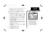
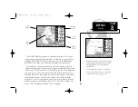
The Active Route Page shows each waypoint of the active route in sequence,
along with the desired track, distance and ETE or ETA to each waypoint from
your present position. As you navigate a route, the waypoint list will automati-
cally update to list the next ‘active to’ waypoint first, followed by the remain-
ing route waypoints in sequence. From the Active Route Page, you can:
1. Scroll through the entire list of route waypoints using the
K
key.
2. Review a highlighted waypoint by pressing the
C
key.
3. Change the ETE field to display ETA by pressing the
B
key.
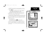
Let’s go back to the Map Page to look at our progress:
1. Press the
E
key.
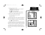
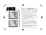
As you travel along your route, your boat will move across the map display,
leaving a track plot of your course. You may have some difficulty differentiat-
ing track plots and route legs at the 64 n.m. scale, so try zooming down past
the built-in database with
L
to get a good view of the track plot.
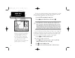
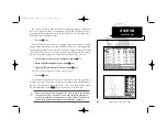
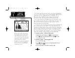
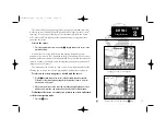
Whenever you zoom past the usable range of the current electronic chart, the range
field will display ‘Ovr Zm’ or ‘No Map’. These warnings indicate that although you
may still have cartography, you should exercise extreme caution using the data. For
a more detailed explanation of Overzoom and No Map modes, see page 20.
Map Display in Overzoom Mode
GPSMAP TOUR
Active Route Page
I
215225manb.qxd 4/27/00 9:22 AM Page 11


