36
GPSMAP 192C Owner’s Manual
M
AIN
P
AGES
>
H
IGHWAY
P
AGE
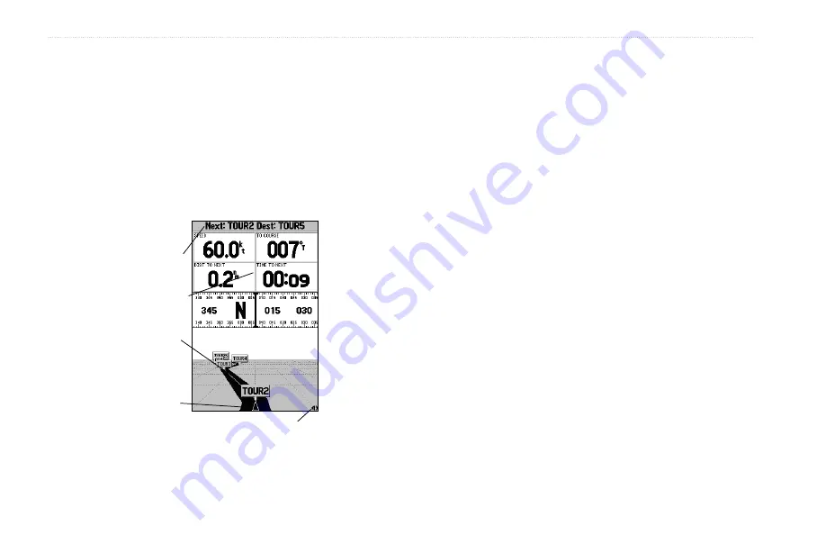
The four data fields at the top of the page provide additional user-
selectable guidance information. Additionally, a compass ribbon is
displayed to show your current heading along with a dark, vertical
bar that indicates the direct bearing to the navigation point. When
the dark, vertical indicator (or arrow) lines up with the lighter red
bar in the middle, you are heading directly to the navigation point.
Use the Highway page as your primary navigation page in lieu of
the Pointer page when your main concern is following a defined
course.
Zoom
Scale
Data Fields
Course
Current
Waypoint
Present
Location
You can zoom in or out on the Highway display for a smaller or
larger view. Five available settings range from 1X to 16X, with a
default setting of 8X. The current scale appears in the bottom right
of the display.
To zoom in or out on the highway display:
Press either the
IN
or
OUT
key to increase or decrease the
zoom scale.
Highway Page Options
The GPSMAP 192C’s Highway options page defines the data fields
and selects the waypoints and tracks that are displayed. The data
window, located at the top of the page, provides a user-selectable
layout of various types of data. Each data field can be configured
to display several data options. The data window layout can be
configured to display additional data fields and change the size of
the data displayed.
To display and select the Highway page options:
1. Press
MENU
.
2. Using the
ROCKER
, highlight an option, and press
ENTER
.


