


GNS 530(A) Pilot’s Guide and Reference
190-00181-00 Rev. H
1-11
SECTION 1
INTRODUCTION
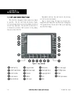
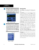
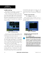
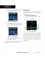
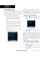
Map Page
After the GNS 530 acquires satellites and computes
a position, the
Map Page (Figure 1-15) appears
automatically.
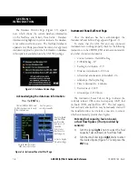
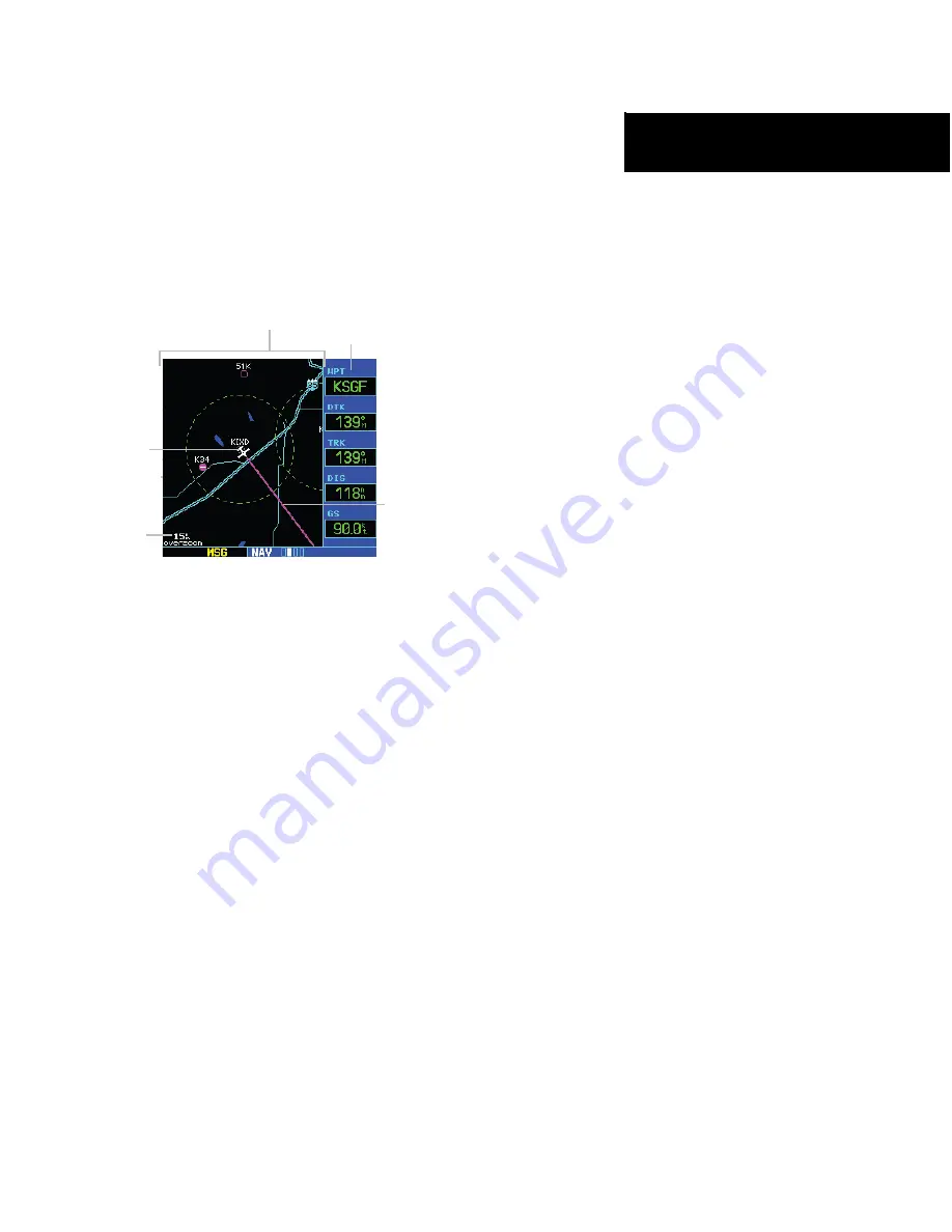
Figure 1-15 Map Page
Present
Position
Desired Track
Map Range
Map Display
Data
Fields
The Map Page displays the present position (using an
airplane symbol) relative to nearby airports, VORs, NDBs,
intersections, user waypoints, and airspace boundaries.
The route is displayed as a solid line.
Optional data fields for destination waypoint (WPT),
desired
track (DTK), track (TRK), distance to waypoint
(DIS), and ground speed (GS) appear on the right-hand
side of the display. These fields are user selectable (Section
3.4, Selecting Desired On-screen Data) to allow the pilot
to configure the unit. Available settings include: altitude,
bearing, enroute safe altitude, estimated time of arrival,
minimum safe altitude, and ground track.
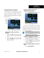
A Map Setup Page is provided to designate the
maximum range at which each map feature appears.
These settings provide an automatic decluttering of the
map (based upon preferences) while adjusting the range.
See Section 16.3 for definitions of these navigation terms.
While viewing the Map Page, the pilot can quickly
declutter and remove many of the background map details
by pressing the
CLR
Key (repeatedly) until the desired
detail is depicted.
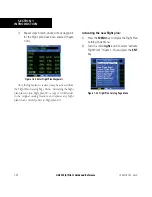
To change the map range, press the up arrow (to zoom
out) or the down arrow (to zoom in) of the
RNG
(
map
range) Key. The current
map range is depicted in the
lower left corner of the Map Display.
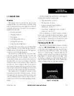
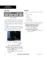
Direct-to Navigation
The GNS 530 can use direct point-to-point navigation
to provide guidance from takeoff to touchdown, even
in the IFR environment. Once a destination is selected,
the unit provides speed, course, and distance data based
upon a direct course from the present position to the
destination. A destination can be selected from any page
with the
Direct-to
Key.
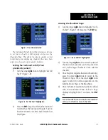
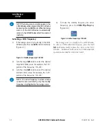
Selecting a direct-to destination:
1) Press the
Direct-to
Key. The Select Direct-to
Waypoint Page appears with the destination
field highlighted.
2) Turn the small
right
knob to enter the first
letter of the destination waypoint identifier.
The destination waypoint may be an airport,
VOR, NDB, intersection, or user waypoint,
as long as it is in the database or stored in
memory as a user waypoint.
3) Turn the large
right
knob to the right to move
the cursor to the next character position.
Summary of Contents for GNS 530
Page 1: ...GNS 530 A Pilot s Guide and Reference ...
Page 2: ......
Page 10: ...GNS 530 A Pilot s Guide and Reference 190 00181 00 Rev H viii WARRANTY Blank Page ...
Page 116: ...GNS 530 A Pilot s Guide and Reference 190 00181 00 Rev H SECTION 6 PROCEDURES 6 34 Blank Page ...
Page 142: ...GNS 530 A Pilot s Guide and Reference 190 00181 00 Rev H 7 26 SECTION 7 WPT PAGES Blank Page ...
Page 286: ...GNS 530 A Pilot s Guide and Reference 190 00181 00 Rev H I 6 INDEX ...
Page 287: ......


