P a g e |
6
2 VS+ system
2.1 System overview
The VS+ is a development of Carlson’s Void Scanner. Both units are ruggedised laser scanners designed to
produce fast, efficient 3D models of underground voids where access is limited, dangerous or prohibited. The VS+
can be mounted on booms, tripods or user-customised deployment devices. The small, lightweight size of the VS+
gives flexibility in the nature of the deployment and means that volumes and dimensions which have previously
been guessed or estimated can be accurately quantified.
The VS+’s laser employs the ‘time of flight’ technique to measure ranges to rock faces and other objects without
the need to place reflectors on the target. This allows measurements to be taken from a safe distance. Two hundred
such measurements are made every second, up to a range of 150 m.
Information from internal accelerometers are collected in addition to the scan data. The accelerometer data allows
scans to be correctly levelled, whichever way the VS+ is inclined or rolled.
A surveyor observes to a prism on the VS+ and a prism on the back of the deployment boom. This establishes the
coordinates and azimuth of the VS+ which ensures scans can be geo-referenced. Multiple scans observed from
different locations can then be stitched together. The scan data can be plotted against design drawings or as-built
data to help build an invaluable picture of the project site.
The VS+ incorporates an internal battery and Wi-Fi controller which means it is a completely self-contained,
cableless system. The unit is controlled remotely from a PC or handheld device running
Carlson Scan
software
which plots the data on-screen in real time.
Carlson Scan
allows the finished scan to be analysed, edited,
transformed, combined with other datasets and exported to third-party software.
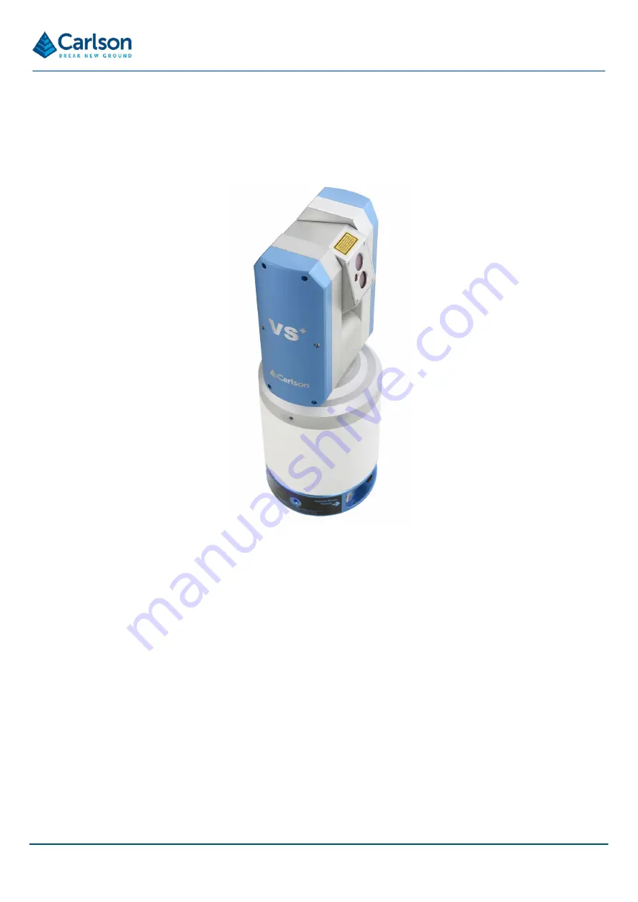
Figure 1 VS+ unit


