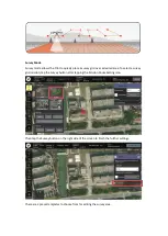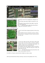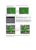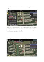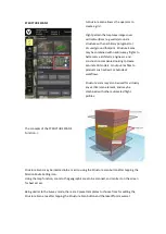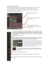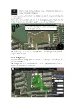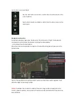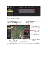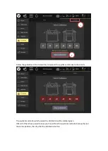
A green overlay will appear with four corners. The region shown in green must be modified so
that it surrounds the structure.
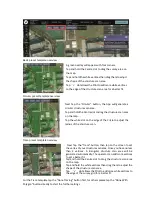
• Drag the opaque vertices on the map to the edge of the structure.
• If the structure footprint is more than a simple square, click the semi-transparent circles
between the vertices to create a new vertex. This allows for complex shapes such as the one seen
above.
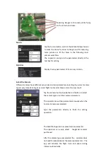
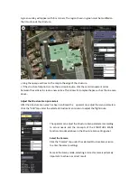
Adjust the Structure Scan parameters
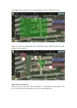
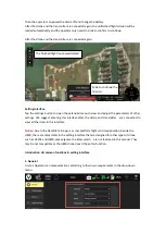
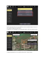
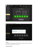
After the Structure Scan area has been confirmed the operator can adjust the scan parameters.
Click the “Grid” tap under the selected Structure Scan mission to adjust the flight route.
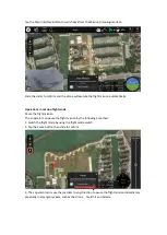
The operator can adjust the Structure Scan parameters according
to actual needs and the concepts of the STRUCTURE SCANS
Function introduced above in the Structure Scan setting panel.
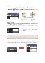
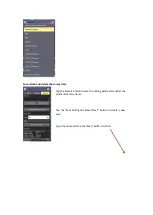
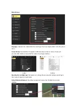
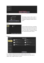
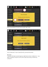
Select the Camera
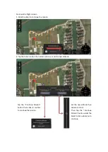
Click the “Camera” tap under the selected Structure Scan mission
to enter the camera settings.
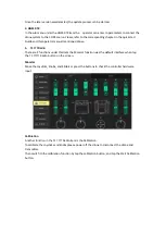
Same as the Survey mode, selecting a correct camera is extremely
important to achieve a correct result.
Содержание H850
Страница 1: ...H850 Operation Manual...
Страница 28: ...Step 5 Connecting Step 6 Tap the Finish button to finish the binding process...
Страница 29: ......
Страница 81: ...Disclaimer...

