
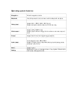


Navigation functions and features :
According to your choice of navigation system, the X-Map 4000 or 5000 can make
position by the build-in GPS satellite signal receiver and display it on the navigation maps.
The system can calculate a best route after setting the destination, which can help users to
arrive the destination safely and rapidly like expected from a X-Map.
1.
Map information
It is possible that the electronic navigation data is not consistent with the real traffic
instructions because of the traffic construction development. Please do comply with the
highway condition and the actual traffic rules at all time.
2.
Navigation
The navigator offers the route for the reference; determine the route by always by yourself,
you as driver may be more familiar with the route than your X-Map navigation system.
3.
Receiving signal
Many factors such as high, dense buildings (in the tunnel, between the high building,
concrete, steel, underground parking, under the trestle), various weather condition, and
closure of the satellite could affect the ability to receive signal so as to result in inaccurate
position, inefficiency of navigation operation and system function.
4. Map & Chart software
There is no documentation of the navigation map & chart software, contact the third-party
software suppliers for a manual or documentation about their licensed software.
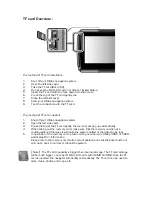
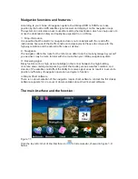
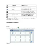
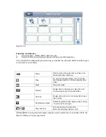
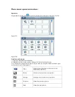
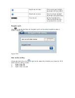
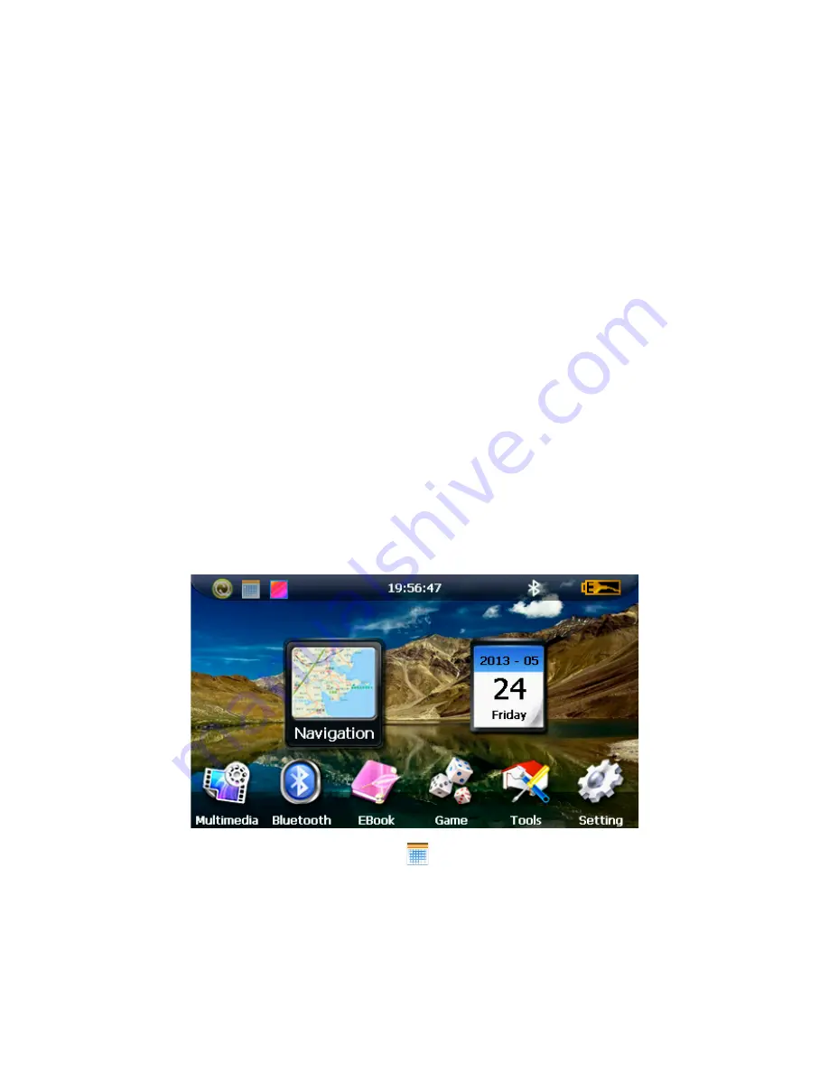
The main interface and the function :
Figure 1-1
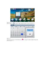
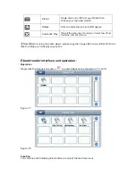
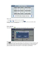
Click the top left corner of the interface icon
to hide calendar, showed in Figure 1-2
below.


