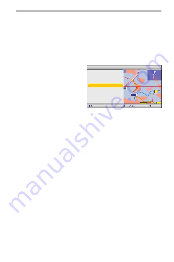
Destination map
The destination map can be used to enter a destination by:
❑
Applying a destination using a cursor.
❑
Direct entry of the geographical position (GPS co-ordinates).
■
Cursor
If the destination is not near to the vehicle location, enter the destination directly as
precisely as possible beforehand.
☞
Select “Destination map” in the “Navigation” menu.
Or:
☞
Press a cursor button if the map is
already being displayed.
:
The destination map is displayed
featuring a cursor. The cursor
marks the current vehicle location
if no destination data has been
entered.
☞
The cursor can then be moved with
the cursor buttons.
☞
Press the
OK
button and select
“Store”.
☞
Press the
OK
button again to apply the marked position as the destination.
✎
First select a large scale for an approximate destination definition. Then choose a
smaller scale to mark the destination accurately with the cursor.
✎
Destinations which are not in the digitised map area can also be selected.
✎
Ensure that correct side of the road is selected when targeting a destination on
motorways.
■
Co-ordinates
☞
Select “Destination map” in the “Navigation” menu.
:
The destination map is displayed.
☞
Press
OK
.
☞
Select “Co-ordinates”, and press the
OK
key.
☞
Select “Longitude” or “Latitude” and press the
OK
key.
☞
Each time you press the OK key, you mark the next digit of the co-ordinates. You
can change each digit with the cursor buttons and confirm with the OK key.
☞
Should you wish to skip a digit, press the
OK
key.
☞
Select “Set co-ordinates” to apply the co-ordinates as the destination address.
Navigation
15
OBERURSEL TAUNUS
STEINBACH TAUNUS
ERHÖCHSTADT
NIEDERHÖCHSTADT
NIEDER ERLENBAC
HARHEIM
455
521
3
3006
661
FRANKFURTER BERG
3003
E451
WEISSKIRCHEN
NIEDER ESCHBACH
BONAMES
S c a l e : 1 0 k m
T M C
4 0 0 0 m
1 : 5 2 h
4
9 : 1 8
EDER ERLENBAC
Telephone
Scale
Return
Store
Co-ordinates
Back to position


