72
User Manual
by measuring the difference in the times of reception of synchronized radio
pulse signals transmitted by two or more fixed stations.
♦
Magnetic Deviation
The value, expressed in degrees East or West that indicates the direction in
which the north indicator on the compass card is offset from the magnetic
north (the difference expressed in degrees East or West between the compass
north and the magnetic north).
♦
Magnetic Variation
The angle between the magnetic and geographic meridians at any place, ex-
pressed in degrees West or East to indicate the direction of magnetic North
from true North. It changes from point to point, and (at the same point) with
time.
♦
Mark
Reference point related to cursor position. Typically it represents by an icon
and label under Mark.
♦
Natural Features
Any topographic feature formed by the action of natural processes: coastlines,
relief, glaciers.
♦
Navigate mode
Operating mode (called also Home mode): all operations refer to the ship's
position. Navigate or Navigation mode is also used to indicate that the desti-
nation is placed.
♦
NMEA-0183
The NMEA-0183 Data Interface Standard was developed by the National Ma-
rine Electronics Association of America. It is an international standard that
enables equipment from many different manufactures to be connected to-
gether and share information.
♦
OSGB = Ordinance Survey of Great Britain
A coordinate system describing only Great Britain charts. Generally used with
GBR36 datum, which also describes only Great Britain charts. This coordinate
system cannot be used in any other part of the world.
♦
Pair
The two selectable secondary stations, of a Loran-C chain, which are used to
calculate the TD (Time Difference) position of a point in the map area covered
by the selected Loran-C chain.
♦
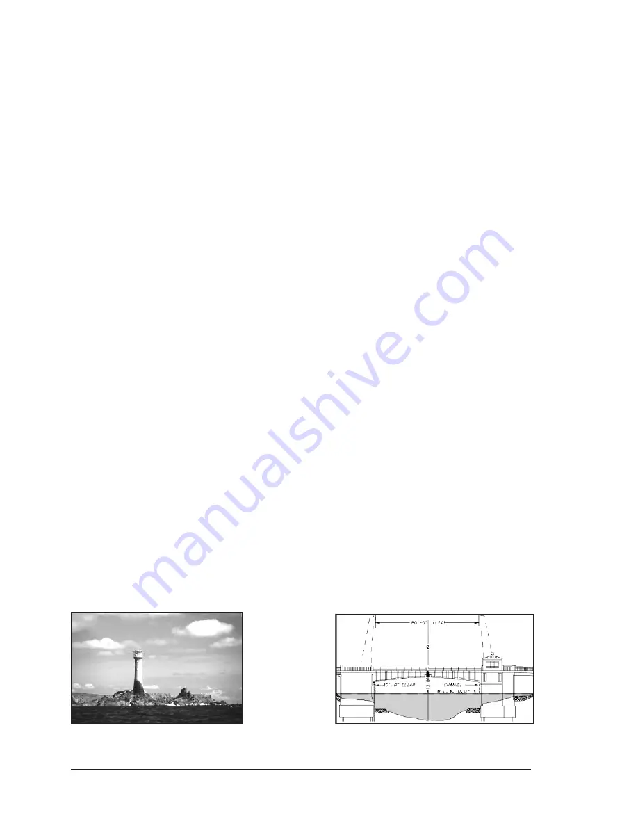
Pictures & Diagrams
The MAX data format allows assigning one or more image to any cartographic
object. These
Pictures
are typically used to facilitate the identification of carto-
graphic objects or places around the map: they can be the landscape layout
nearby a harbour, the shape of a bridge or of a buoy etc. On some objects,
such as bridges, the image associated can represent the
Diagram
represent-
ing the shape of the objects and the various characteristics (length, height,
type of bridge etc.).
Содержание COLOR MAX 15
Страница 20: ...22 User Manual...
Страница 56: ...58 User Manual...
Страница 58: ...60 User Manual...
Страница 78: ...80 User Manual...
Страница 84: ...86 User Manual...
Страница 96: ...98 User Manual...


