Operating Modes
65
Mark your starting and stopping points. Pull a line from the beginning point to the ending point to
ensure that you are traveling a
STRAIGHT line!
Not walking a straight line
WILL
give you a false
reading.
Use a WAAS/EGNOS/MSAS
1
enabled GPS with the appropriate hi-gain antenna (external or
internal) to get better accuracy of your starting and stopping points. This is very important for
locating the position after the data has been successfully analyzed.
(3)
Assemble the eXp 4500 and attach the Super Sensor.
(4)
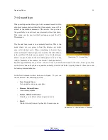
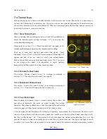
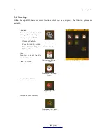
Start the eXp 4500 and select “Mineral Scan” from the main menu (see illustration 7.21).
(5)
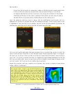
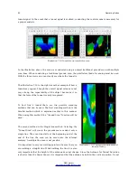
Select “New Mineral Scan” from the Mineral Scan menu (see illustration 7.22).
(6)
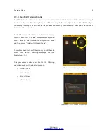
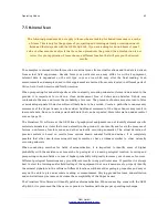
Select either Automatic or Manual for the Impulse Mode depending on the terrain that is to be
prospected. Push the multi-function control knob.
(7)
Ensure that your Super Sensor remains the SAME height
above the ground and that it remains vertical during the duration of
the scan. For areas of rough terrain or difficult to pass, be sure to
use the Manual mode. Attempt to maintain the height between 5 cm
and 10 cm (2” to 5”) above the ground with no more than a ± 5 cm
(2”) variance during the scan to receive a good measurement
(changing the height of the Super Sensor may give you a false
reading).
(8)
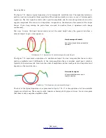
The dialog window “Do you want to start the scan now?” will
appear. Click on “Yes” to begin scanning. Start moving forward as
soon as the button is pushed, do not delay.
(9)
At the end of the scan push the multi-function control knob to
stop your scan (be careful to not shake the Super Sensor when
pushing the button to start or stop for it can have a negative effect on the scan).
(10)
The dialog window “Do you want to save this scan now?” will appear. Select “Yes” to save the
scan and “No” to not save the scan.
Though you will be able to see the scan on the eXp 4500 monitor, it is recommended to complete the
analysis on the PC. The Visualizer 3D software will give you more tools to better identify mineral
deposits.
It is very important to conduct the Control Scans.
1
WAAS (Wide Area Augmentation System), EGNOS (European Geostationary Navigation Overlay Service) and MSAS
(Multi-Functional Satellite Augmentation System)
OKM GmbH
www.okmmetaldetectors.com
Illustration 7.23: Start Scan menu
Содержание eXp 4500
Страница 1: ...FS Future Series eXp 4500NT Version 1 5 User s Manual ...
Страница 5: ...5 9 2 Control Scans 93 OKM GmbH www okmmetaldetectors com ...
Страница 9: ...1 Introduction CHAPTER 1 Introduction ...
Страница 14: ......
Страница 35: ...3 Technical Specifications CHAPTER 3 Technical Specifications ...
Страница 39: ...4 Scope of Delivery CHAPTER 4 Scope of Delivery ...
Страница 44: ......
Страница 78: ......
Страница 88: ......

