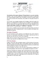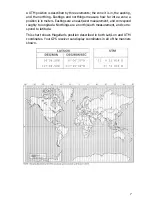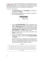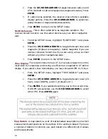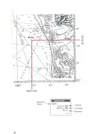
Setting a Route with Stored Waypoints
To navigate safely from the inlet to the dock, you set a route from INLET to
BUOY, then to DOCK. A route is required to help you avoid the shallow area
or any rocks that you may not see when visibility is poor.
A route is a planned course from one place to another. lt is often divided into
shorter units, called legs.
Navigating with a Route
To be sure that you avoid shallow or rocky areas, you must stay on course.
Any time you stray from the courseline of the current leg, the Magellan GPS
receiver will display a cross track error, or XTE.
XTE is the distance between you and the courseline, measured as a perpen-
dicular from the courseline to your current position. lt also indicates whether
you are to the right or left of the courseline. XTE does not include any variable
for the direction you or your craft are actually facing.
5
Содержание Trailblazer
Страница 1: ...Magellan GPS Satellite Navigator Reference Guide...
Страница 24: ...20...
Страница 31: ...27...
Страница 41: ...960 Overland Court San Dimas CA 91773 909 394 5000 22 60005 012...


