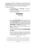
Initial Position.
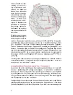
By entering an initial position you are informing the receiver
of approximately where it is; you should know this position within 300 miles
(approximately 480 km). If you do not know your coordinates, refer to the
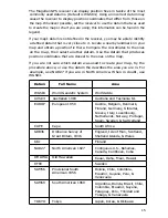
City Reference Chart to key in the coordinates of the nearest City.
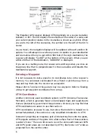
To enter an initial position:
1.
Press AUX/SETUP, and the LEFT ARROW. "INITIALIZE" is
highlighted. Press ENTER.
2. The initial position is displayed as zero position coordinates in
Lat/Lon and degrees/minutes.
3.
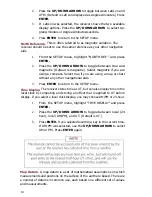
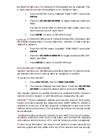
Press the UP/DOWN ARROWS to enter the first digit of your
latitude. (Data entry is described in more detail in
Tutorial.)
Press the RIGHT ARROW to move the cursor to the next digit
and repeat. If necessary, change the displayed hemisphere (N or
S) by moving the cursor to the hemisphere and pressing the UP/
DOWN ARROW. Press ENTER to save the entry.
4. Enter your longitude in the same manner as the latitude. Press
ENTER to save the entry.
5.
Key in your elevation (mean sea level) in feet. If necessary,
toggle the ± elevation prefix with the UP/DOWN ARROW.
Press ENTER.
The unit of measure for elevation can be changed later in
SETUP. If you know what your altitude is in feet, enter it now;
the receiver will automatically make all necessary conversions if
you later change the unit of measure to meters.
12
Содержание Trailblazer
Страница 1: ...Magellan GPS Satellite Navigator Reference Guide...
Страница 24: ...20...
Страница 31: ...27...
Страница 41: ...960 Overland Court San Dimas CA 91773 909 394 5000 22 60005 012...

