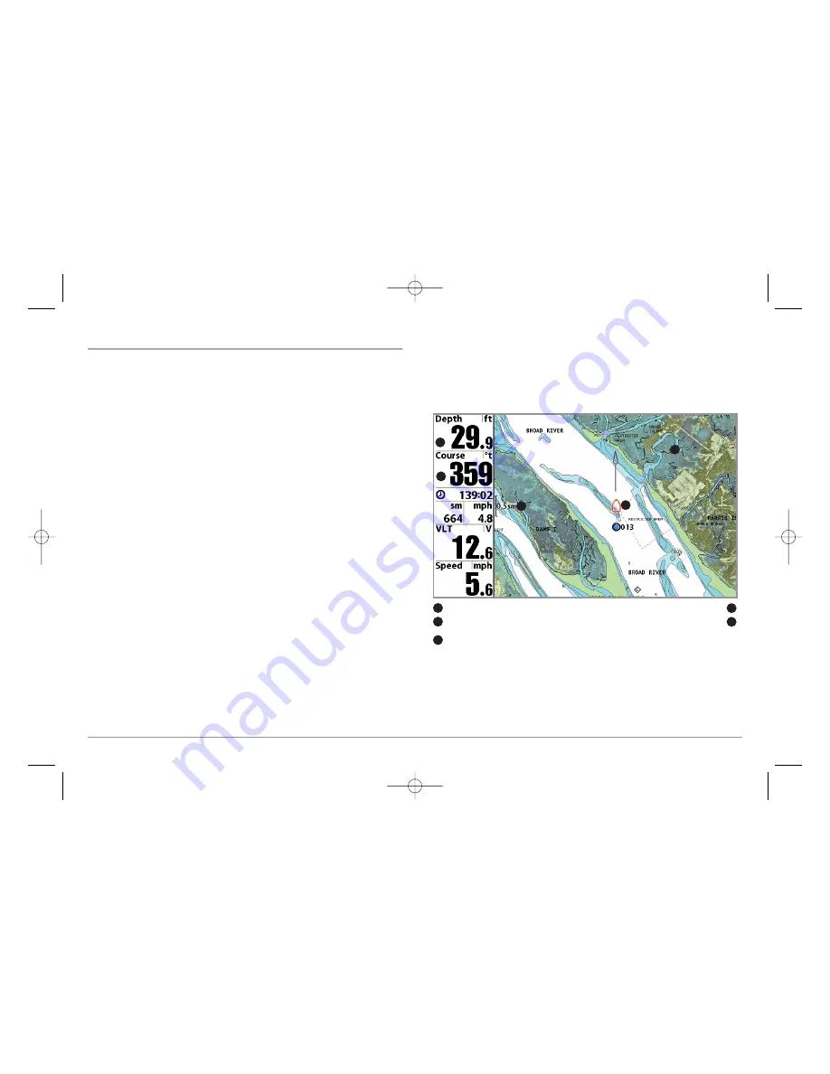
Chart View
Chart View
shows cartography from the built-in UniMap
™
or an optional
MMC/SD map for the area surrounding your current position. The current
track (also known as the position history or breadcrumb trail) showing where
the boat has been, along with saved tracks, waypoints, and the current
route (when navigating), are overlaid on the chart.
You can use the 4-WAY Cursor Control key to shift/pan the chart to another area.
You can use the ZOOM (+/-) keys to zoom in and out.
You can use the INFO key to get information on the chart objects near the cursor.
Photographic Overlay:
Once Platinum
™
Cartography is added to your Fishing
System, and Chart Aerial Overlay is set to Visible using the Platinum
™
Main
Menu, the Chart View changes to show a photographic overlay (when
photographic data exists in the map) when you zoom in using the ZOOM + key,
even though it appears as the normal Chart View when you are zoomed out.
See
Platinum
™
Menu Tab: Chart Aerial Overlay
and
Navigation X-Press
™
Menu; Platinum
™
Cartography Addition: Overlay Transparency
for more
information.
In addition, the Chart View will display Platinum
™
Cartography data and
icons if Chart Detail Level is set to All.
Map borders will only be displayed appropriately on the Chart View for
Platinum
™
Cartography if Map Borders is set to MMC/SD Only or All Visible.
See
Chart Menu Tab; Platinum
™
Cartography Additions: Map Borders
for
more information. See
Chart Menu Tab; Platinum
™
Cartography Additions:
Chart Detail Level
and
Nearest Port and Chart Information
for more
information.
Chart View
Depth Cartography
1
4
Course: Direction that boat is travelling
relative to North Reference.
Boat Icon
2
5
Map Scale
3
1
2
3
4
5
13
531598-1_A - PlatCart_Man.qxp 4/11/2007 8:27 AM Page 13


