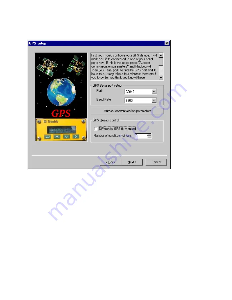
Interpolator in one of the next screens and why we recommend that you have a good GPS data
transmission as you set up the survey.
The GPS display can be configured with user selectable background colors and annotation fonts.
Also, MagLog has the capability to import ArcInfo shape file maps (more on this in the MagLog
Manual). If there is a map available (presented in
ArcInfo
Shape file format) it is possible to
combine GPS display with that map. The screen below shows a typical view of the
MagLog
GPS
screen and allows the user to set parameters such as:
•
Press here to set annotation font and user-supplied map
. An additional dialog appears
which allows user to set all these parameters. It is assumed that user map (if any) is
presented in MagLog format already and user can simply import it up. If map has not yet
been transformed into Maglog format, use the next button:
•
Map Import
. This allows user to select set of ArcInfo shape files (both .shp and .shx set
of files must be available) to be converted into MagLog format. During conversion
geometry information can be clipped against rectangular clip region and
user marks
and
user lines
added to the view. Note that ArcInfo shape files are available for most regions
of the world on several internet sights at no charge.
Only linear features (such as coastlines, roads, etc) are taken from shape files. Point features
as well as names in any associated .dbf file are ignored. The user should take care in
G–877 MARINE MAGNETOMETER OPERATION MANUAL
21
Содержание G-877
Страница 2: ...2 G 877 MARINE MAGNETOMETER OPERATION MANUAL...
Страница 4: ...4 G 877 MARINE MAGNETOMETER OPERATION MANUAL...
Страница 8: ...NOTES 8 G 877 MARINE MAGNETOMETER OPERATION MANUAL...
Страница 17: ...NOTES G 877 MARINE MAGNETOMETER OPERATION MANUAL 17...
Страница 32: ...NOTES 32 G 877 MARINE MAGNETOMETER OPERATION MANUAL...


