190-00820-08 Rev. A
Cirrus Perspective
™
by Garmin – Pilot’s Guide for the SR20/SR22/SR22T
163
FLIGHT MANAGEMENT
SY
STEM
O
VER
VIEW
FLIGHT
INSTRUMENTS
EIS
AUDIO P
ANEL
& CNS
FLIGHT
MANA
GEMENT
HAZARD
AV
OID
ANCE
AFCS
ADDITIONAL
FEA
TURES
APPENDICES
INDEX
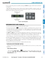
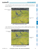
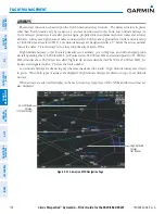
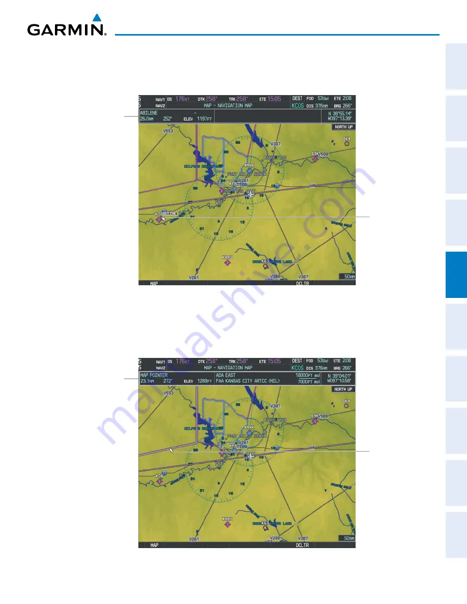
When the Map Pointer is placed on an object, the name of the object is highlighted (even if the name was
not originally displayed on the map). When any map feature or object is selected on the map display, pertinent
information is displayed.
Figure 5-9 Navigation Map - Map Pointer on Point of Interest
Map Pointer on
POI
Information about Point
of Interest
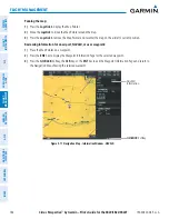
When the Map Pointer crosses an airspace boundary, the boundary is highlighted and airspace information
is shown at the top of the display. The information includes the name and class of airspace, the ceiling in feet
above Mean Sea Level (MSL), and the floor in feet MSL.
Figure 5-10 Navigation Map - Map Pointer on Airspace
Map Pointer on
Airspace
Information about
Airspace
Содержание Cirrus Perspective SR20
Страница 1: ... Cirrus SR20 SR22 SR22T Integrated Avionics System Pilot s Guide ...
Страница 2: ......
Страница 655: ......

