Summit WMScanner Quick Start Guide - Page 8 of 17
Introduction to Using Summit WMScanner
Now that you have installed the software, you can begin measuring and visualizing your WiFi network’s
performance. This Quick Start Guide provides a brief tutorial on using the software to perform a site survey
of your facility and then analyze your WiFi network through various visualization modes. The following
instructions provide a recommended workflow for doing site surveys and analysis using Summit
WMScanner. For additional information about how to use Summit WMScanner, please refer to the online
User Manual (Help menu > User Manual
Help menu > User Manual
Help menu > User Manual
Help menu > User Manual).
Requirements
Before proceeding with the site survey, you must first acquire a floor plan of the facility. In order to import
the floor plan into Summit WMScanner, the floor plan needs to be in the following formats:
•
Raster images ( *.BMP, *.JPG, *.TIFF formats)
•
Raw facility CAD files (*.DWG and *.DXF formats)
•
Formatted facility drawing files (files that were created in Motorola EnterprisePlanner
or LANPlanner
)
Loading Raster Images, Raw CAD files, or Formatted Drawing Files
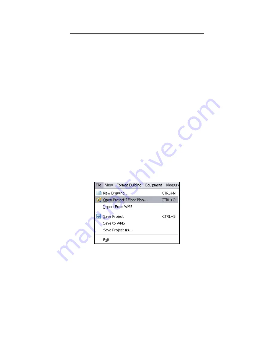
Step 1: Select the File
File
File
File menu > Open Project / Floor Plan…
Open Project / Floor Plan…
Open Project / Floor Plan…
Open Project / Floor Plan… command to access the Open Drawing
Open Drawing
Open Drawing
Open Drawing dialog.
Step 2: When the Open Drawin
Open Drawin
Open Drawin
Open Drawing dialog
g dialog
g dialog
g dialog opens, browse to your floor plan’s file and click Open
Open
Open
Open. You will be
asked whether you wish to save changes for the current drawing file. Click No
No
No
No.
Step 3: A Warning
Warning
Warning
Warning dialog will pop up asking you whether the file you have opened is scaled or not. If you
opened a raster image or a raw CAD drawing file, you will need to scale the drawing file. When performing
a site survey, it is extremely important to use a scaled drawing file. Click Scale Drawing
Scale Drawing
Scale Drawing
Scale Drawing and follow the
onscreen instructions. You will be asked to select two points on the floor plan for which you know the
distance and then enter the distance. If you opened a formatted drawing file created in EnterprisePlanner
or LANPlanner, most likely it has already been scaled. If this is the case, check the box next to the This file
This file
This file
This file


