Summit WMScanner Quick Start Guide - Page 14 of 17
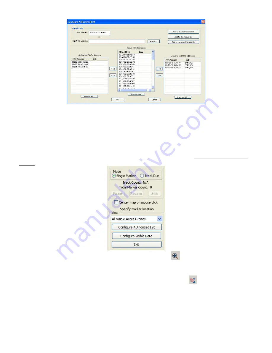
Step 9: You can begin taking measurements by clicking on points on the map that correspond to your
current location. There are two options for recording data under the Mode
Mode
Mode
Mode section. Single Marker
Single Marker
Single Marker
Single Marker mode
records a single measurement point on the drawing file when you left click a point on the map. Track Run
Track Run
Track Run
Track Run
mode records multiple points along a straight line which are collected and plotted between your start and
end point clicks. Track runs are continuously drawn unless you switch back to Single Marker
Single Marker
Single Marker
Single Marker mode. If you
wish to delete a measurement, click on the Undo
Undo
Undo
Undo button. For further explanations of these two modes,
please refer to Taking Measurements
Taking Measurements
Taking Measurements
Taking Measurements in Chapter 3
Chapter 3
Chapter 3
Chapter 3 –
––
– Measurement Surveys
Measurement Surveys
Measurement Surveys
Measurement Surveys in the Summit WMScanner
Summit WMScanner
Summit WMScanner
Summit WMScanner User
User
User
User
Manual
Manual
Manual
Manual.
Step 10: If you find that you are zoomed too far in or out, click on the
icon. Left click and hold the
mouse button while the cursor is in the drawing window and move the mouse up or down in order to zoom
in or out. When you are done, right click in the drawing window and go to Exit
Exit
Exit
Exit. To pan the drawing file so
that you can take a measurement in a certain location of the map, click on the
icon. Left click and hold
the mouse button with the cursor in the drawing window. Move the mouse in the direction you wish to pan
to. To exit Pan
Pan
Pan
Pan mode, right click in the drawing window and choose Exit
Exit
Exit
Exit.
Step 8: When you are done taking measurements, click the Exit
Exit
Exit
Exit button.


