


EchoMap v3.0
16
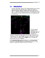
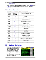
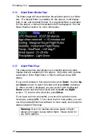
3.4
Navaid Overlays
The
Up
arrow and
Down
arrow allows you to scroll
through different customized layers of navigational
data such as airspace, highways and airways. To read
more on how to customize your own layers please
refer to
3.10
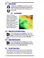
3.5
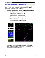
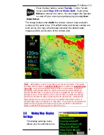
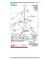
Terrain Contour
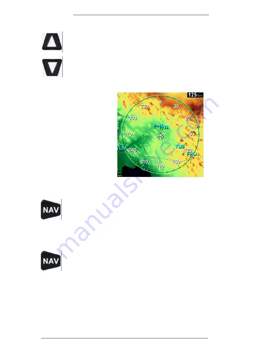
The terrain contour
background map displays
terrain in solid shades of
color. The color mapping is
based on the elevation
coloring of standard
sectional charts, but slightly
adjusted for improved on-
screen visibility. The image
to the right shows the
aircraft position in Arizona.
Mexico is to the south.
3.5.1
Display the Terrain Contour Overlay
Press the Nav button, select
Terrain
.
In the Terrain
menu select
Map: ON
and
Mode: Map
. Next press
Enter
to remove the menu. You can toggle this function
on and off your moving map display by pressing
Nav Enter
Enter
.
3.5.2
Display Black Background
Press the Nav button, select
Terrain
.
In the Terrain
menu select
Map: OFF
. Next press
Enter
to remove
the menu. You can toggle this function on and off your
moving map display by pressing
Nav Enter Enter
.
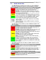
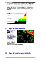
3.6
Terrain & Tower Alerts
EchoMap automatically displays alerts if your current altitude is
within 500ft of terrain or a tower in an 8 minute radius of your
current position. You are alerted to the terrain or towers that
would display red on the moving map. The alert indicators are