600-00105-000 Rev 01
-9-
FlightMax EX5000
Using Datalink
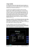
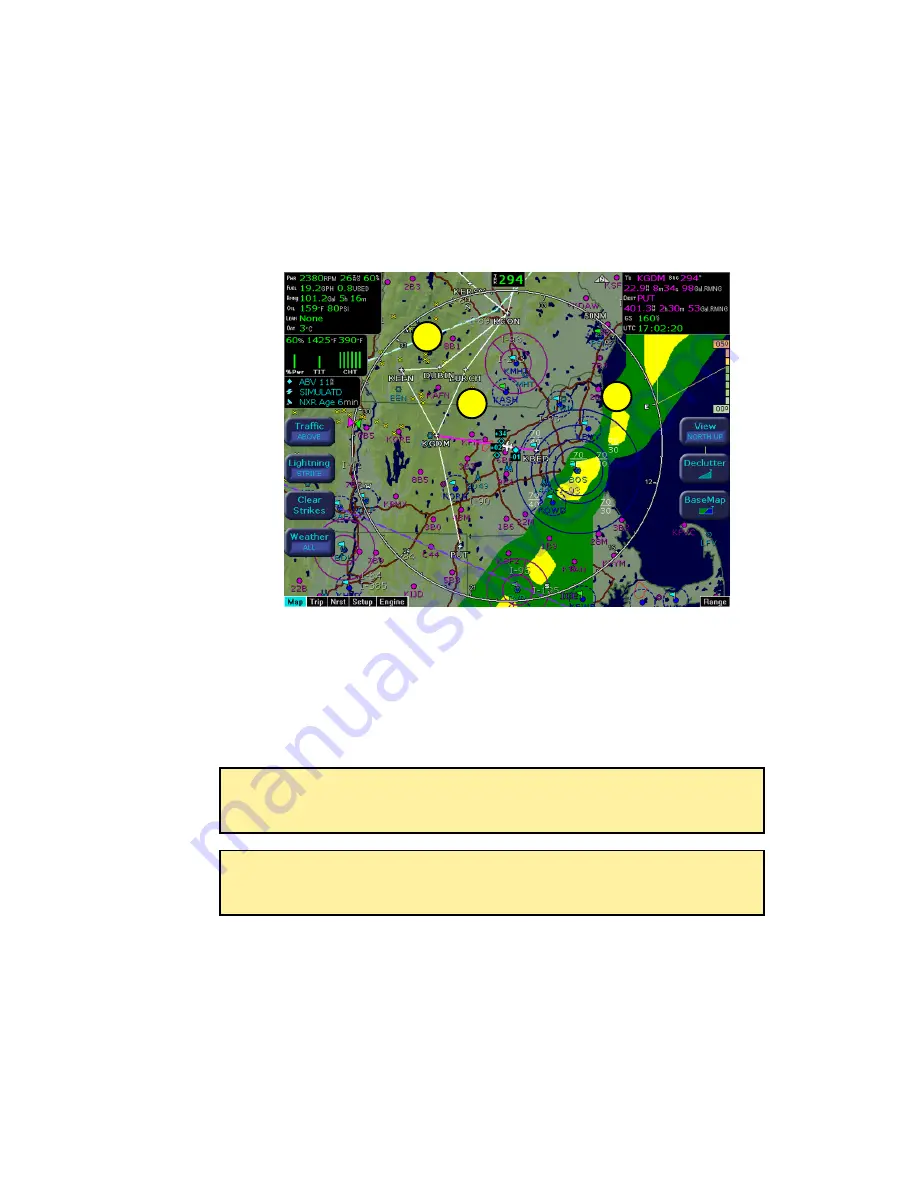
The Weather Overlay button allows you to add Nexrad Graphical METARs and Airmets
weather images onto the map display.
1)
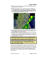
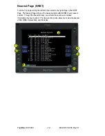
NEXRAD data is displayed in a four-color format consistent with weather radar
data. The NEXRAD age is displayed in the sensor status box. The displayed age
is calculated based on the time the national NEXRAD composite image is created.
The actual radar data may be slightly older than the displayed NEXRAD age. A leg-
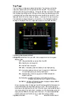
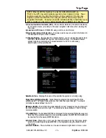
end for the NEXRAD display is available on the trip page.
2)
Graphical METARS are displayed as small upright flags. These offer you a chance to
look at the "bigger picture" for weather along your route of flight. A legend for the
graphical METARS is available on the Trip Page.
3)
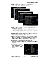
Airmet/Sigmet data is overlaid with lines that alternate between single and triple thick.
The thick side of the line indicates the inside of the affected region. The regions are
labeled according to the type of Airmet/Sigmet, and the label is located in the interior
of the depicted region. (see Table 6)
The boundary of the available weather coverage area is shown by hash marks. The
intent of the datalink weather boundary is to clearly show when there is actual weather
in the area, versus when there may be weather in a given area but it is not displayed.
If you would like to expand the amount of data displayed (and therefore move the
boundary farther from your flight plan) you can do this on the Datalink Setup Page or
at
MyAvidyne.com
.
NOTE: The National Weather Service only provides NEXRAD for the
Continental United States (CONUS). The EX5000 will not depict NEXRAD
images for areas outside of CONUS.
CAUTION: Datalink weather should only be used for strategic planning pur-
poses. Datalink weather should not be used for tactical weather avoidance.
Local conditions may have changed since your last weather update.
1
2
3

