2-6
Using the SunEye
Create a Session
Figure
2-8.
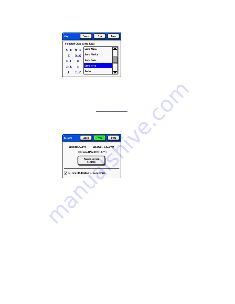
City Location
The SunEye will automatically determine the correct latitude, longitude, and magnetic declina-
tion for the city you select. It is not necessary to select the exact city since the latitude and longi-
tude will be very similar for nearby cities. The lists of states and cities available depend on the
currently selected region
refer to “Select Locale” on page 2-32
. The city latitude and longitude
data was obtained from
www.geonames.org
.
•
Optional:
Use the SunEye GPS to acquire your current location.
a
In the
Location
dialog box, select
SunEye GPS,
then
Next
.
Figure
2-9.
Get New GPS Location
b
Click on
Acquire Session Location
and the latitude, longitude and calculated magnetic dec-
lination will be acquired. If you would like the GPS to acquire the location for each new sky-
line, select the
Get new GPS location for each skyline
option.
• Alternatively, enter the location manually.
a
In the
Location
dialog box, select
Manual Entry.
b
Enter the longitude, latitude, and magnetic declination. (If you have previously selected a city,
the corresponding latitude, longitude, and magnetic declination for the selected city appear in
the text boxes.) The Calculate button will recompute the magnetic declination for the latitude
and longitude that are entered.
8
Select
Done
. You will see the Session Properties which lists the information you entered for the
session.
Содержание Solmetric SunEye 210
Страница 2: ...2 ...
Страница 4: ...4 ...
Страница 16: ...1 10 Getting Started System Controls and Settings ...
Страница 80: ...4 6 Solar Access and Interpretation of Data Numerical Calculations ...
Страница 90: ...5 10 Maintenance and Troubleshooting Regulatory Compliance ...


