Note: 3D view is only useful for navigation. As you zoom out, the view angle will
automatically be raised. Finally 2D view will be reached. When you zoom back in, 3D
view will gradually return.
4.1.2 Zoom levels
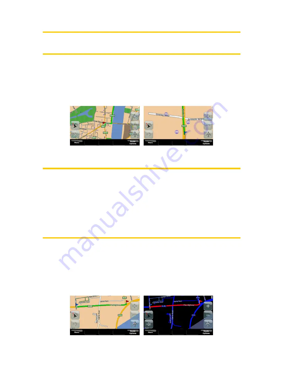
V7 Navigation uses high quality vector maps that let you see the map at various
zoom levels, always with optimized content. Street names and other text objects are
always displayed with the same font size, never upside down, and you only see as
many streets and objects as needed to find your way around the map.
Changing the scale of the map is very easy. You can use the zoom icons on the
map screen in order to zoom in or zoom out.
Note: If you need to zoom out briefly to locate your position on the map, use the
Overview mode instead of zooming out and back in. The Overview mode is a 2D
North-up view that can be started by tapping the button on the right depicting an
airplane (Page 29).
Note: V7 Navigation has a special Smart Zoom function for navigation that
automatically rotates, scales and tilts the map in 3D map mode to always give you
the optimal view in your current situation. When approaching a turn, it will zoom in
and raise the view angle to let you easily recognize your maneuver at the next
junction. If the next turn is at a distance, it will zoom out and lower the view angle to
flat in order to let you see the road in front of you.
4.1.3 Daylight and night color schemes
The different color schemes let you adjust V7 Navigation to the brightness of the
environment. Use the daylight and night color schemes accordingly. Daylight colors
are similar to paper roadmaps, while the night color schemes use dark tints for large
objects to keep the average brightness of the screen low, with carefully selected
colors to still keep you informed about all the necessary information on the screen.
16
Summary of Contents for NAV740
Page 1: ...User Manual V7 Navigation Navigation software for V7 NAV740 US English July 2007 2 1...
Page 14: ...14...
Page 48: ...48...


