132
Set Heading
F
You can input the compass direction to the site from your
present location or, you can select
All Range
which ignores your specific
heading.
For example: If the
Dangerous Road
location is toward the Northeast and you are
driving in that direction, then choose
NE
(45°)
If you know you will be driving on a road which has many curves to that site center,
choose
All Range
which will trigger the alert regardless of direction as long as
the other requirements (range, speed) are met.
If you travel in a Northeast direction and do not travel either side of a northeast line
by up to 22 degrees, the alert system will function.
Set Speed Limit
F
Choose from 0, through 100 MPH in 5 MPH steps or
the equivalent in KPH for metric usage. If you set it to 0 MPH, the alert beeps
every time the scanner exceeds the range.
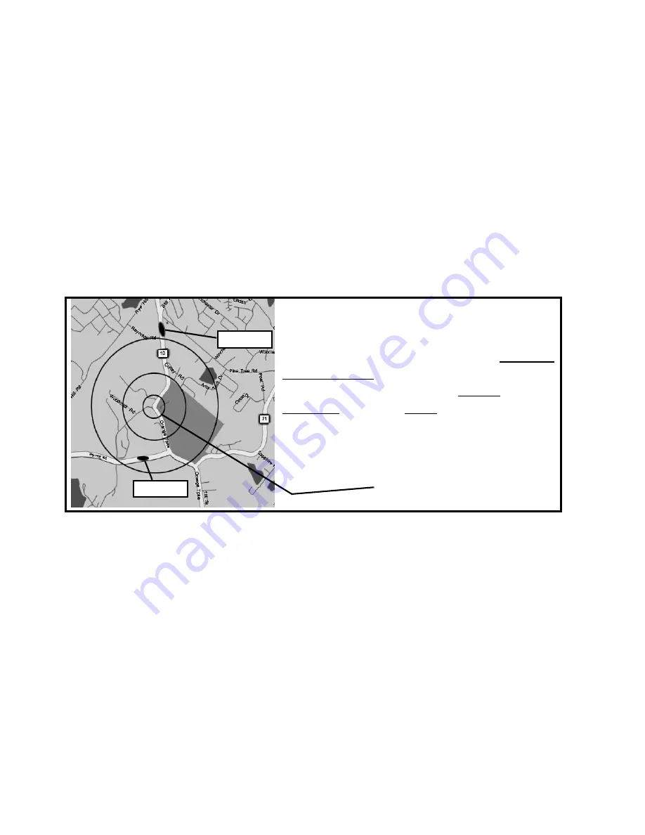
The BCT15, a GPS, and a Dangerous Road
Car One is driving south. Car Two is driving
east. Car One is alerted since the Latitude
and Longitude of the Dangerous Road is
programmed as well as the Range and the
Direction. When all three data sets are met,
the alert sounds. Since Car Two is going
east, no alert sounds as the Direction is not
met.
41° 17’ 58.64” N
74°11’ 10.30” W
Heading South
Programmed Settings
Car One
Car Two


