Instructions for use
29
9
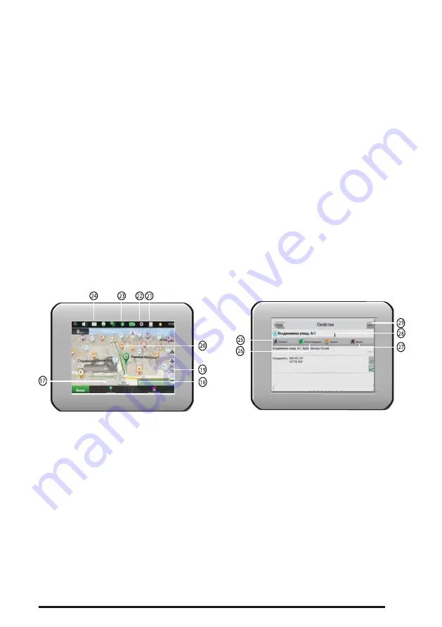
Information panel: Name of current street (active if the connection to satellites is ).
Information is displayed if a connection to GPS / GLONASS is established and if the card
contains relevant information. Otherwise, the direction of travel is displ ayed.
10
Zoom button: Zoom out button.
11
Zoom button: Zoom in button.
12
"Navitel.Events" *: Button for managing the service of traffic accidents.
13
Route: Displays the rest of the route, intermediate points on it, and congestion along the
route (indicated by color).
14
Battery: A button displays the battery level of the device. When the button is pressed,
the amount of free RAM of the device is displayed.
15
Connecting with satellites: Indicator for connecting with satellites. If the indicator is gray,
GPS / GLONASS receiver is off; Red - the receiver is on, but the connection with the
satellites is not established; Yellow - bad connection; Green - connection established. The
indicator shows the number of satellites found.
16
"Navitel.Friends" *: The button for navigating to the Navitel.Friends service menu, which
allows you to add friends, see the friends on the map, and communicate with them.
17
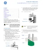
"Cursor" button: When you press the button, the menu of the point marked on the map
appears (defining it as the final one by pressing the "Let's go!" Button, or going to the
"Properties" screen).
18
Save button: Saves the point marked on the map as a waypoint for further use.
19
2D / 3D button: Switching between flat and panoramic views of the map. The slope of
the map depends on the scale.
20
Point on the map: With a short press you can mark a point on the map and save it as a
waypoint, add it to the route, see its properties, etc.
21
Updates *: Opens access to the program update menu and maps.
22
Track recording *: Track recording button: the red color of the point inside the icon
means that the track is recorded, gray is not produced.


