35 / 36
3
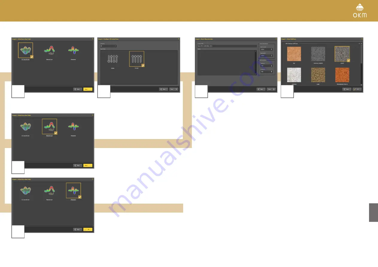
3D Ground Scan
4
Select the operating mode and click
Next
.
Enter the Field Length and select the Scan
Mode, then click
Next
.
3
Mineral Scan
3
Pinpointer
Start the scan data import by clicking
OK
.
5
6
Enter title and scan field dimensions. You may
also apply GPS coordinates and add notes and
remarks. Then click
Next
.
Select the corresponding soil type.
Start the scan data import by clicking
OK
.
Summary of Contents for ROVER C4
Page 15: ...15 36 OPERATING MODES ...


