Reference Guide
2-35
Ref
er
enc
e Guide
Name
Description
Function
Time Left
Shows the time needed to reach the final
destination of the route based on information
available for the remaining segments of the
route. The calculation cannot take into account
traffic jams and other possible delays.
Tap this field to change the
content of all data fields to
via point information.
Method
This field shows how the route was calculated. It
displays the Route Calculation Method (Fast,
hort, Easy or Economical).
Tap this field to change the
content of all data fields to
via point information.
Warning
icons
In these square fields graphical symbols are
displayed in case warnings are attached to the
planned route. These are warnings, so icons
always show information for the whole route,
even if the data fields display values from your
current position to a via point only.
Tap any of the icons for an
explanation.
Skip Next Via
Appears only if at least one via point exists.
Deletes the next via point
from the route.
Fit to Screen
Opens the map screen
scaled to show the entire
route.
■
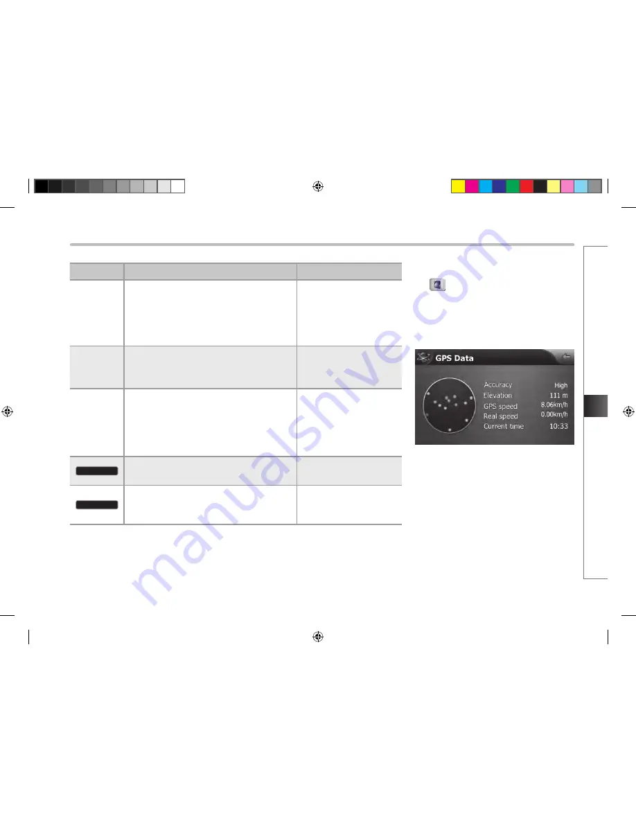
GPS data screen
Tap
to open the GPS Data screen and to
see the status of GPS reception.
The virtual sky shows the visible part of the
sky above you, with your position as the
centre.
The satellites are shown at their current
positions. The GPS receives data from both the
green and yellow satellites. Signals from the
yellow satellites are only received, while green
ones are used by the GPS receiver to calculate
your current location.
HM_[영어]_Part4-6.indd 35
2008-12-19 오후 3:38:15
Summary of Contents for HAVN-100HMCIS
Page 1: ...User s Manual DIGITAL AVN SYSTEM K_HM_ 영어 _COVER indd 2 2008 12 23 오전 10 47 14 ...
Page 30: ...MEMO ...
Page 31: ...K_HM_ 영어 _NAVI0 indd 1 2008 12 19 오후 3 43 14 ...
Page 82: ...MEMO HM_ 영어 _Part4 6 indd 52 2008 12 19 오후 3 38 19 ...
Page 84: ...K_HM_ 영어 _COVER indd 1 2008 12 19 오후 2 51 48 ...


