K5 Plus GNSS
- 54 -
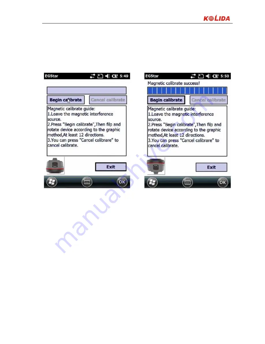
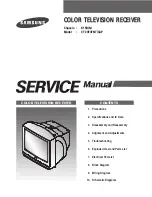
In the megnetic calibration screen, click “Begin calibrate”, then flip and rotate
the K5 PLUS according to the sketch map on the left bottom of the screen ( you
can also draw “∞” after K5 PLUS is connected to the carbon fiber pole), until the
calibration is finished 100%.
Calibrating Calibrated
Figure 3-21
3
.
Tilt survey
After you finish the calibration, you can start tilt survey, this function can
correct the slant coordinates to the normal coordinates within 30° angle of
inclination.
§3.4 Antenna height measuring
The antenna height is related to static operations and RTK operations, the
following is the introduction separately.
Antenna height is actually the vertical height of the phase center to ground


