42
Tutorial 2: Working with Data
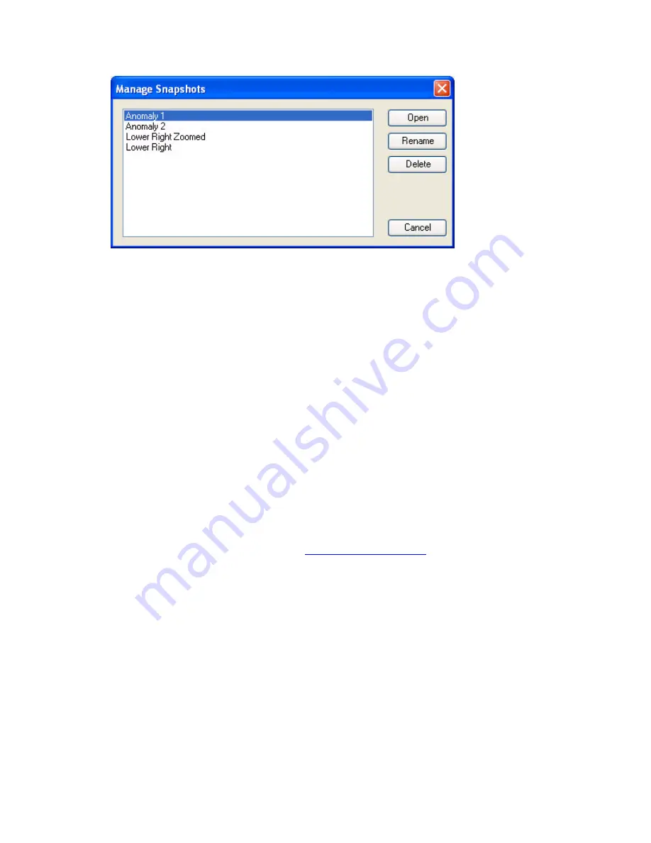
Map snapshots (or bookmarks) are saved views of the map extents, based on the
coordinate system and units of the map view. Map snapshots enable you to return to a
favourite location on your map quickly and easily.
The snapshot option was designed to help improve your workflow and ease of use. For
example, if you are working on a regional scale map and have a number of active project
areas (or a number of anomalies in one project area) you can use this tool to quickly and
easily zoom into your areas of interest.
DAP (Data Access Protocol)
Oasis montaj
includes a Geosoft DAP client which enables users to search and retrieve
geoscientific datasets, imagery and other map data directly form a DAP server on a local
network or on the Internet. There are two types of DAP clients, a thick client (a desktop
software application) and a thin client (web browser).
Oasis montaj
, MapInfo and ArcGIS are thick DAP client software applications. Thick
client applications enable you to download and save the actual data to your hard drive, so
you can use the data in
Oasis montaj
or any other GIS or spatial data processing program.
Thin clients, like Geosoft’s DAP Data Explorer use a web browser to browse, view and
extract data from a DAP server. Visit
and see how it works!
Geosoft’s DAP capability enables both licensed and free Viewer users to access global
and corporate spatial servers – Geosoft DAP servers, NASA servers, USGS servers, and
the many, many WMS servers currently available.
DAP’s main features include:
•
Large Volume Data Transfer:
DAP technology handles the efficient transfer of
very high-volume data, and its associated metadata, through a streaming
technology.
•
Spatially Aware:
DAP is spatially aware, enabling user-specified spatial querying
and retrieval.
•
Ready-to-use Data:
DAP provides localized data that matches your current Oasis
montaj map window and projection information.


