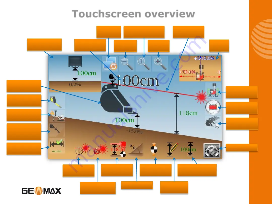
Touchscreen overview
Meter Tape
Tool
List of
buckets
Check
Sensors
Set 2D
Alignment
Top
View
Settings
Fast Elevation
Reset
Set
Elevation
Move
Reference
Set Slope
Catch
Laser
Delete 1st
Laser Catch
Set Laser
Height
Show/Hide
Reach
Measure
mode with
slope
Elevation
Alarm
Bucket
orientation
Zoom
Out
Set back Zoom
to Default
Zoom
In
Swap
Views
Laser
Reference
Optional
view
Current
Elevation
4
Summary of Contents for EZDig T
Page 1: ...Manual Version 2 00 Software Version 3 5 1 User Manual EZDig T Menu Language English 1 ...
Page 5: ...Digging a hole Method 1 Using the ground as reference 5 ...
Page 7: ...Digging a hole Method 2 Using surveyor stake as reference 2 50m Surveyor Stake 7 ...
Page 9: ...Digging a 5m wide hole 5m Surveyor Stake 9 ...
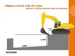
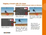
Page 15: ...Digging a trench with 2 slope Method 1 Using the ground as reference 15 ...
Page 26: ...Changing the elevation Method 2 Working with a rotating laser 0 10m 4 71m 4 61m 26 ...
Page 36: ...36 ...


