
33
Routes
Reference
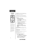
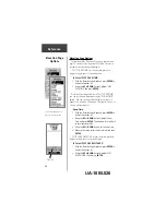
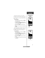
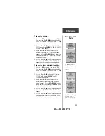
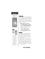
‘Route’ and Route Page
The eTrex Summit allows you to navigate using one of
three methods:
• GOTO
• Route
• TracBack
The GOTO method of navigation was briefly
discussed on page 18. This section discusses the route
method. The third method, TracBack, is discussed on
page 33. In the eTrex Summit, a route is at least two
waypoints that describe the path you are going to travel.
The route feature is very convenient because it allows the
eTrex Summit to guide you from the first waypoint in the
route, to each successive waypoint until you reach your
final destination. The route feature and the GOTO feature
are comparable in that they both guide you to destination
waypoints.
However, the route feature is more powerful because it
is more automatic. When you reach one waypoint, the
eTrex Summit automatically guides you to the next
waypoint on the route without needing to touch any
button. When you use the ‘GOTO’ feature you have to
stop and select the next waypoint before you start
moving. When you plan a trip, you can select waypoints
from a waypoint list and put them into the eTrex
Summit’s memory. At least 2 waypoints (up to a
maximum of 50) are linked together to form a route.
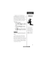
When you start your trip, you activate the route
feature and the receiver points the way you should travel
to get from the first waypoint to the second. You can then
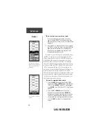
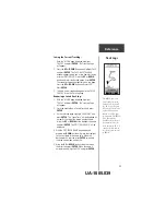
use the pointer page to give you steering guidance.
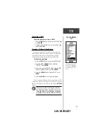
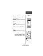
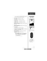
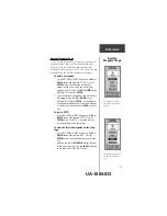
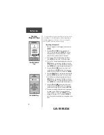
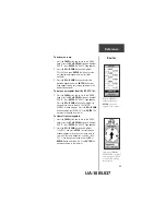
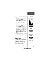
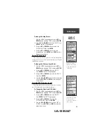
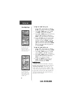
The ‘ROUTE’ feature is found
on the Menu Page.
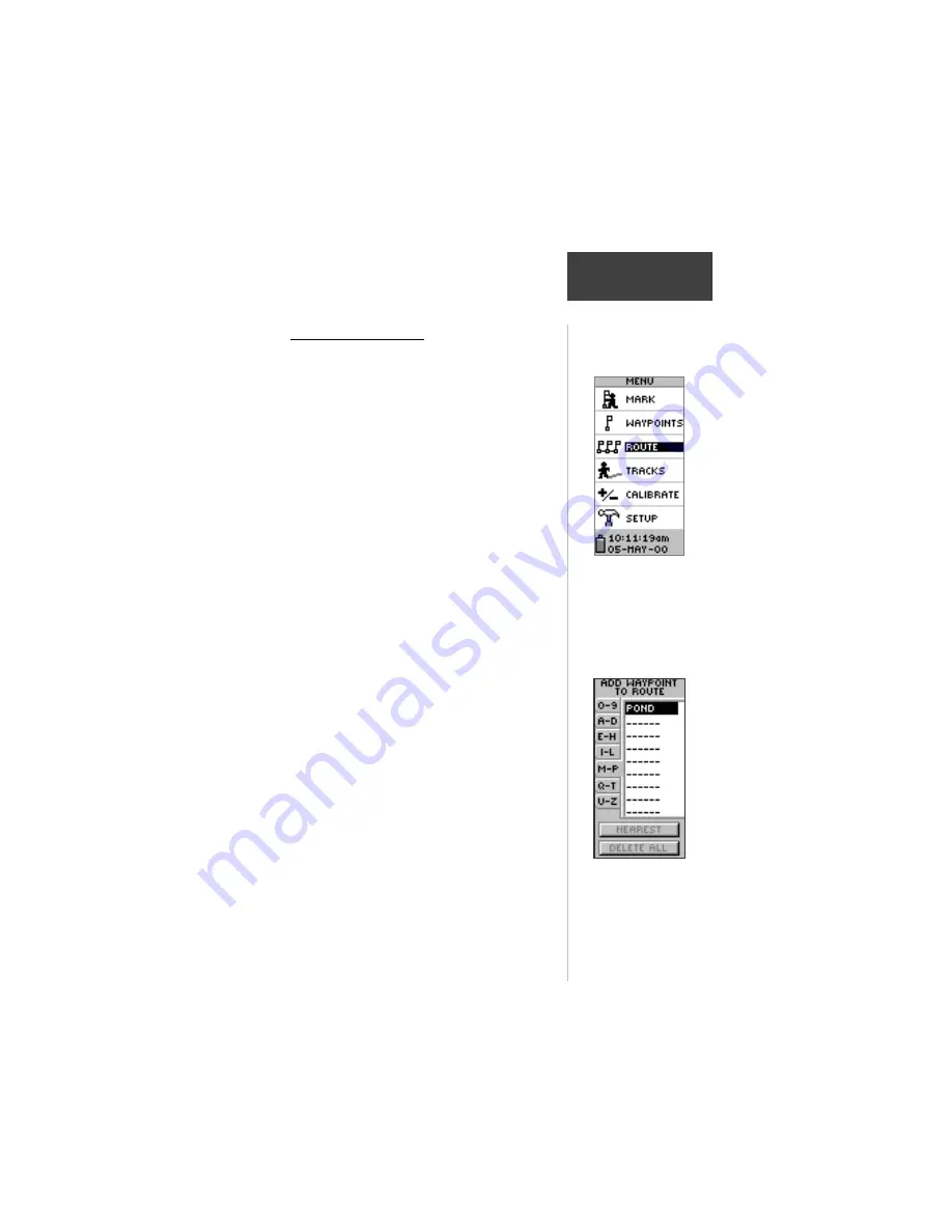
You can use existing
waypoints to ‘build’ the route.
UA-1005.035