
27
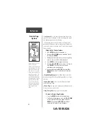
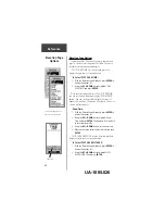
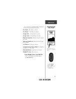
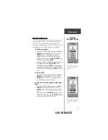
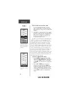
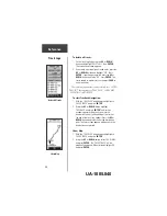
You can also change the data field along the bottom of
the Elevation Page to display different data.
Total Ascent
—Total distance ascended
Total Descent
—Total distance descended
Average Ascent
—Average distance of ascents
Average Descent
—Average distance of descents
Maximum Ascent Rate
—Maximum Ascent Rate in feet
per minute.
Maximum Descent Rate
—Maximum Descent Rate in
feet per minute.
Local Pressure
—Current local pressure
12 Hour Barometric Pressure Trend
—Tracks pressure
changes over a 12 hour period.
Maximum Elevation
—Highest elevation reached
Minimum Elevation
—Lowest elevation
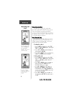
To scroll through the user selectable data;
1. The UP or DOWN arrow will scroll through the
available data fields.
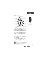
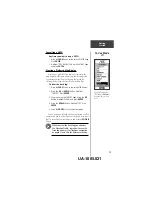
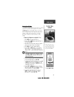
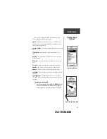
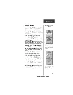
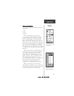
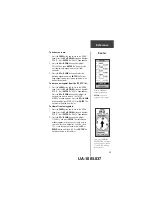
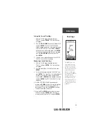
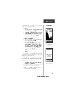
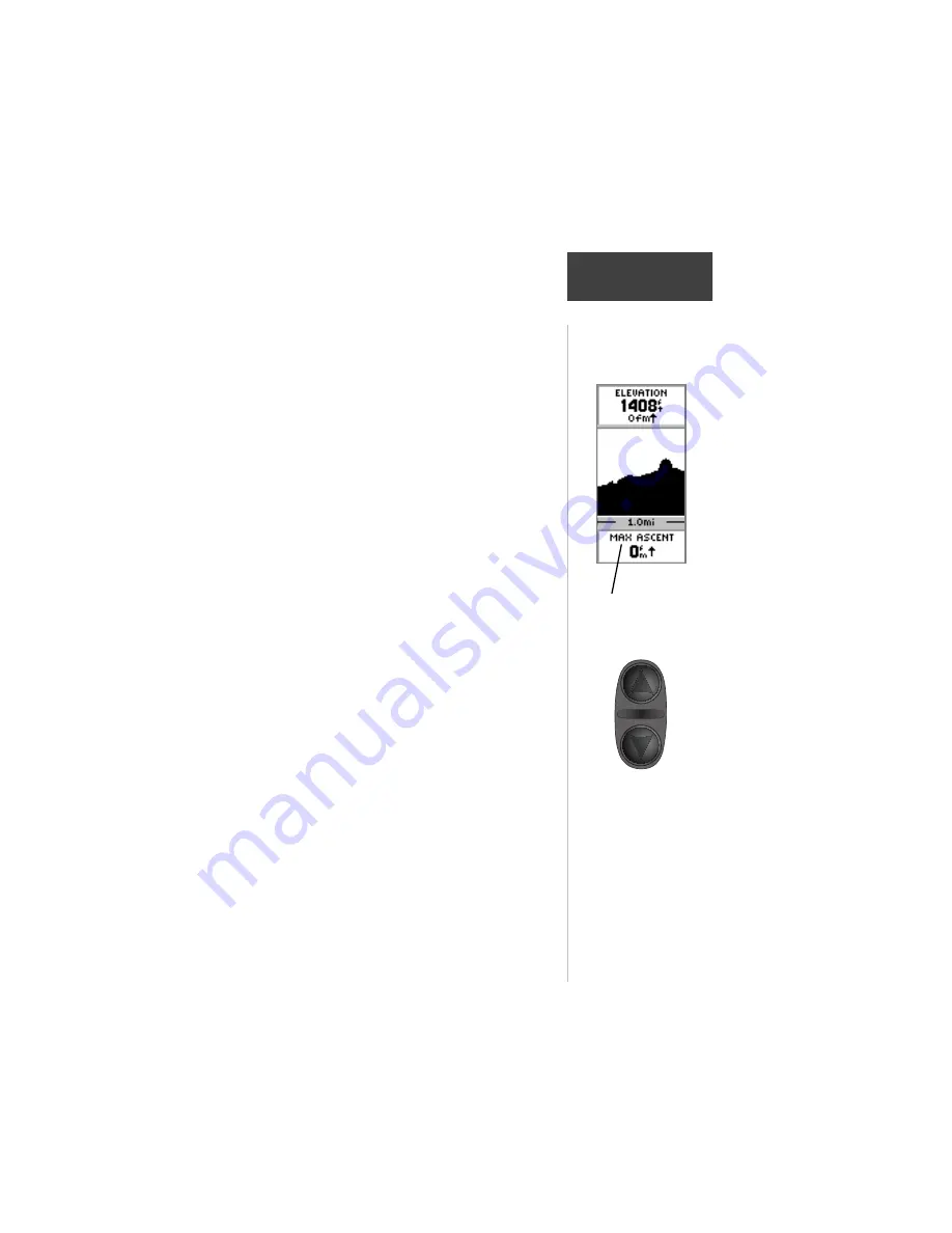
Reference
Elevation Page
Data Fields
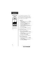
The Elevation Page Data
Field has 10 user selectable
options.
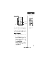
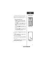
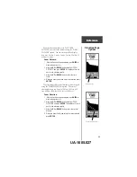
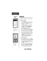
On the Elevation Page,
the
UP
and
DOWN
Buttons are used to scroll
through the user-
selectable data fields
UA-1005.029