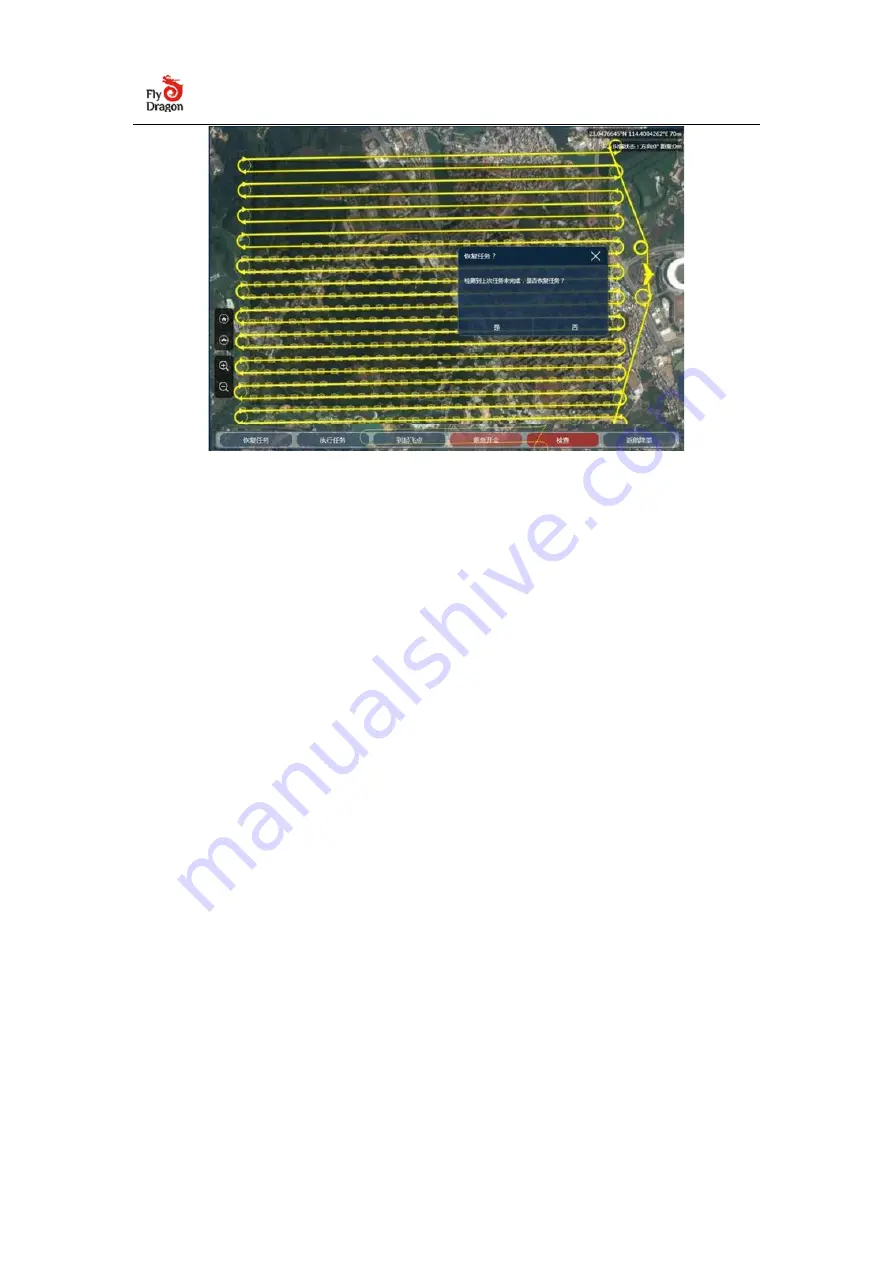
3.2.3 Save and load sub-division measurement areas
Save sub-division measurement areas independently, flexibly combine and load,
which can be used for task assignment of multiple operation groups and can also
be used for operation planning by period.
When planning a mission, you only need to save each survey area separately.
During the actual flight, you can flexibly combine and load the independent survey
areas into the same task. The combined loading method is the same as above.
When loading multiple survey areas, the ground station will remind "whether to
clear Existing waypoint", click "No", the new survey area task will be superimposed.
3.2.4
Export KML to google earth:
After the mission is generated, you can select "Export Route" in the UAV menu
bar to convert the UAV GCS mission into a kml file and import it into the 3D flight
plan in Google Earth.
Summary of Contents for FDG30
Page 6: ...Click on Connect Drone...


