29
BATHYMETRIC MAPPING
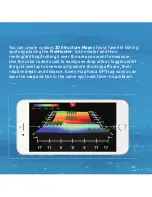
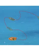
The perfect tool to create a custom map of your entire lake or
favourite fi shing spots. Just troll your FishHunter across the
area that you are interested in mapping and FishHunter starts
to track the depth and bottom contour as it travels around
your lake. Once completed, you can navigate back to any
location on your map, or see the bottom contour sonar display
by pressing anywhere on your map.
29
Summary of Contents for DIRECTIONAL 3D
Page 7: ...7 95 OF THE FISH ARE IN 5 OF THE WATER KNOW WHERE TO CAST...
Page 11: ...11 11 1 Line of Sight 2 Good Elevation 3 No Obstructions BEST PRACTICES...
Page 12: ...12 12 THE WORLD S ONLY PORTABLE FISH FINDER WITH 72 COVERAGE OF COVERAGE ANGLE 72 12...
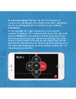
Page 16: ...16 16 DIRECTIONAL CASTING 16...
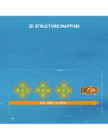
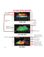
Page 20: ...20 3D STRUCTURE MAPPING 20...
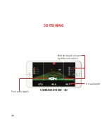
Page 24: ...24 3D FISHING DEPTH TO BOTTOM DEPTH TO FISH 47 6 ft 44 ft 24...
Page 28: ...28 28 28...
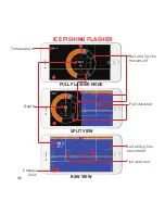
Page 34: ...34 34 ICE FISHING FLASHER DEPTH TO BOTTOM 11 meters...

