32 - AvMap
Satellite Navigator
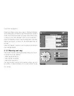
2.4 Planning and modifying a route
2.4.1 Planning a route from A to B
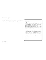
If you are in the car and you are receiving a valid
GPS signal, the point of departure corresponds to
your GPS position. Nevertheless it is always possible
to plan a route even without GPS signal, before
departing, by entering both the departure point and
the destination point.
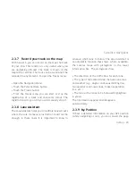
• Enter the address by following the procedure
described in paragraph 2.3
•Touch More Options
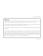
In the More Options page you can set the entered
address as a departing point by pressing Set as
Departure. A page will open up asking “Do you want
to set a destination now?”
• Press Yes, the Where to Go Page will open.
• Repeat the procedure to enter the destination.
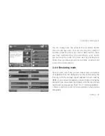
Touch Go to Set as Destination and calculate the
route. The map will be displayed.
In absence of GPS signal the navigation will not start
but the route will be displayed with a green line. You
can either consult or modify the itinerary (par.2.5).
2.4.2 Route Functions Menu
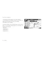
To modify a route, enter the
Route Functions menu,
by selecting it from the Navigation Menu. The menu
contains a series of useful options to modify and
optimize the route according to your needs. The
options are:
• Clear route: to delete the set route
•Recalculate: to manually recalculate the route.
• Invert route
• Edit Via Points: to modify the via points sequence
and set detours.
Summary of Contents for Geosat 6 Series
Page 1: ...Corresponding to Software Version 1 10 xx User Manual Geosat 6 series ...
Page 78: ...78 AvMap Satellite Navigator ...
Page 112: ...112 AvMap Appendix A Setting the first destination flux diagram ...
Page 117: ...AvMap 117 Turn on 99 Unpaved roads 34 USB 12 51 56 91 92 99 108 118 Volume 18 Walkways 115 ...
Page 120: ...www geosat6 com MAG6UAM0AE011 ÑMAG6UAM0AE0113Ó ...


