8
en
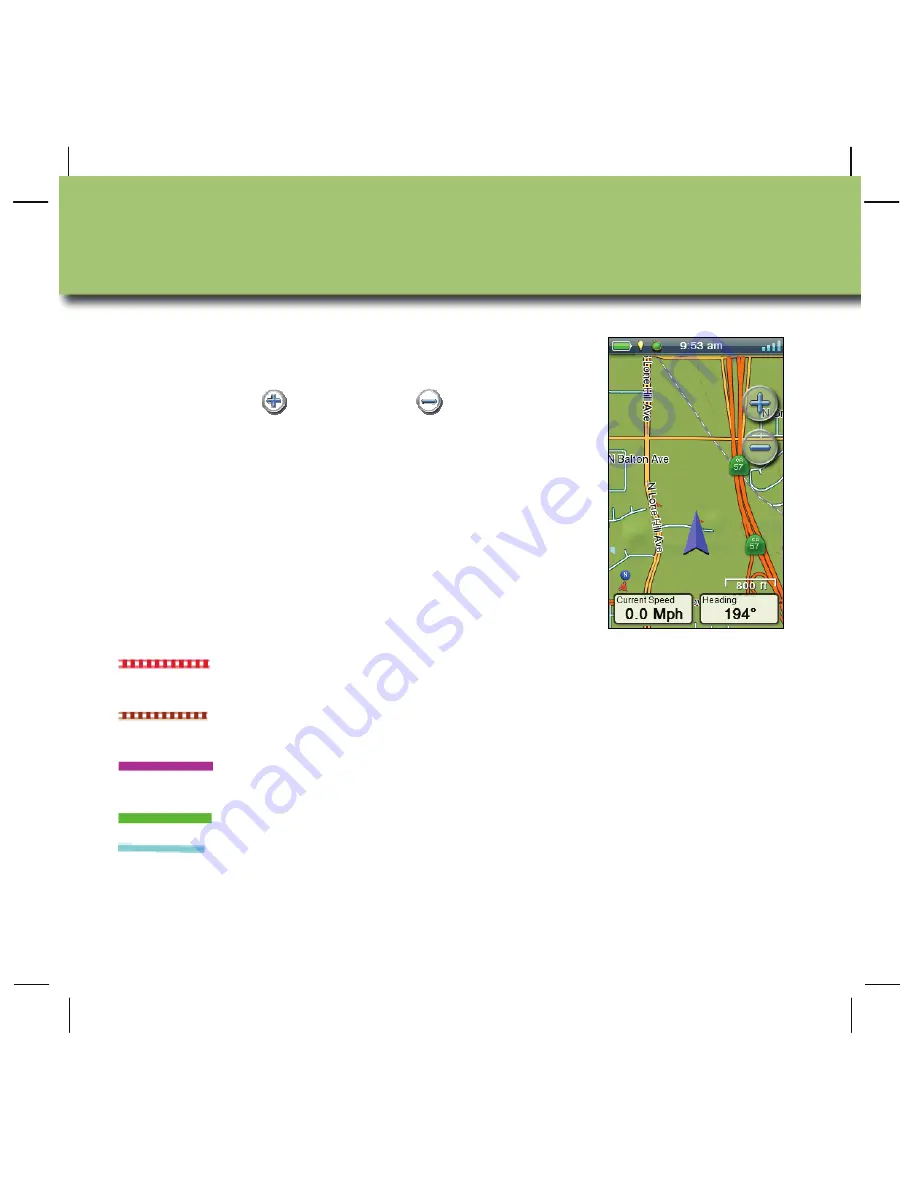
The Map screen is the starting point for using your
eXplorist GPS receiver.
Use the zoom in
and zoom out
controls to
change the map scale. You can customise the
number of navigation fields from zero to four, each
of which can be set to display unique navigation
data.
Navigation lines
are displayed on the map
providing you with information about your journey.
Active track
Displays a history of your travels when
you are routing to a destination.
Active track
Displays a history of your travels when
you are
not
routing to a destination.
Origin Destination
Line
Originally computed route from point of
origin to your destination.
Route Line
Computed multi-leg route.
Point Destination
Line
Guidance from your current position to
the destination.
Map Screen
Содержание eXplorist 510
Страница 2: ...English en 3 Deutsch de 21 el 39 Espa ol es 57 Fran ais fr 75 Italiano it 93 Nederlands nl 111...
Страница 3: ...2 Revision R00 10 2010...
Страница 42: ...el 41 A 2 5 B C Settings Assign Button Function B C 50 100 A B C Microphone Magellan eXplorist...
Страница 43: ...42 el A USB B USB USB USB B A...
Страница 44: ...el 43 micro SD www magellangps com micro SD micro SD micro SD micro SD 610 710 eXplorist 610 710 8...
Страница 45: ...44 el GPS eXplorist Navigation lines...
Страница 46: ...el 45 4 OneTouch OneTouch M 4...
Страница 47: ...46 el OneTouch OneTouch eXplorist 4...
Страница 48: ...el 47...
Страница 49: ...48 el GO GO Waypoints POI Geocaches...
Страница 50: ...el 49 Map Main Menu Tools Settings GPS eXplorist Tools www magellangps com...
Страница 51: ...50 el GPS Magellan eXplorist 4 4 GPS eXplorist...
Страница 52: ...el 51 GPS Magellan eXplorist 4 Option Menu Add Waypoint Map 4 Main Menu Stop Track Option Menu Save...
Страница 53: ...52 el 4 Back Track Map 4 Main Menu Tracks Track Details Option Playback Playback...


