Reference Line
1105
Options to convert the
DXF file to a job
To facilitate the electronic transfer of lines from the plans to the surveying instrument,
different tools have been created to read DXF format into a System1200 job.
Using Design to Field
Using the Design to Field tool of LEICA Geo Office, the
user has the ability to bring in lines from multitudes of
formats including XML, DXF, Microstation XML and
many more. Refer to LGO Online Help for information on
Design to Field.
Using Alignment Tool Kit
Using the ATK application, a simple centerline alignment
can be created and be imported in
Staking to Polyline
.
)
Only straight and curve elements are supported.
The alignment created with the ATK application
has to be converted to a RoadRunner Job.
Creating Lines in LGO
It is possible as well to create the necessary lines in LGO.
Refer to LGO Online Help.
Method
Description
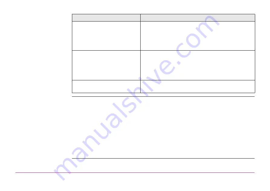
DXF Import:
Copy the DXF files to the \data directory on the CompactFlash card of
the instrument. Once the card is back in the instrument the
DXF import program can be used to bring the lines into the job. Refer
to "17.5 Importing Data in DXF Format".
Design to Field:
This module is included in LEICA Geo Office and allows the conversion
of DXF files into a System1200 job. This method makes the task of
transferring several lines into a single job quick and efficient.
Содержание GPS1200+
Страница 1: ...Leica GPS1200 Technical Reference Manual Version 7 0 English...
Страница 26: ...26 GPS1200 Table of Contents...
Страница 69: ...Equipment Setup GPS1200 69 Equipment setup RX12_32 a b c e d k j i l m n o f h g...
Страница 89: ...Equipment Setup GPS1200 89 Diagram GPS12_61...
Страница 208: ...Manage Data GPS1200 208 Next step CONT F1 returns to the screen from where MANAGE Sorts Filters was accessed...
Страница 363: ...Convert Import Data to Job GPS1200 363 Point imported with code...
Страница 451: ...Config General Settings GPS1200 451 Next step PAGE F6 changes to the first page on this screen...
Страница 472: ...Config General Settings GPS1200 472 Next step PAGE F6 changes to the first page on this screen...
Страница 639: ...Tools Transfer Objects GPS1200 639 are not to be transferred CONT F1 transfers selected object IF all XX THEN...
Страница 699: ...STATUS GPS1200 699 Next step CONT F1 exits STATUS Position...
Страница 718: ...STATUS GPS1200 718 Next step CONT F1 exits STATUS Tilt Measurement...
Страница 827: ...COGO GPS1200 827 Unknown P1 First COGO point P2 Second COGO point P3 Third COGO point sideshot P4 Fourth COGO point...
Страница 909: ...COGO GPS1200 909 P0 First new COGO point P1 Second new COGO point P2 Rotation Pnt Azimuth GPS12_163 P2 P0 P1...
Страница 958: ...Determine Coordinate System General GPS1200 958 Next step CONT F1 returns to DET C SYS Determine Coord System Begin...
Страница 1013: ...Determine Coordinate System One Point Localisa tion GPS1200 1013 Next step CONT F1 returns to DET C SYS Step 5 Determine Scale...
Страница 1090: ...Reference Line GPS1200 1090 24 The results are written to the logfile Step Description Refer to chapter...
Страница 1191: ...Survey General GPS1200 1191 Next step PAGE F6 changes to another page on this screen...
Страница 1201: ...Survey General GPS1200 1201 Next step STOP F1 to end the point occupation store the point and to return to GPS1200 Main Menu...
Страница 1352: ...Menu Tree GPS1200 1352 FIELD TO OFFICE...
Страница 1411: ...PPS Output Notify Message Format GPS1200 1411 Example PLEIR HPT 134210000 1203 17...


