

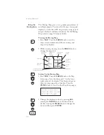


Storing a
Waypoint
Your Apollo GX can store up to 500 user-defined
waypoints in the USER database. The waypoint can
be created by providing a Lat/Lon position or by a
Radial and Distance from a reference waypoint.
Then, you can give your waypoint a name and even
include a runway length. You can use up to six
characters with upper case letters, numbers, or a space
for the name. You can also enter a runway length
from 0 to 9999 ft. You are not allowed to use a USER
waypoint as the Radial and Distance reference
waypoint. This example will create a Lat/Lon-based
USER waypoint. For more details on waypoints, see
the Waypoint Database section on page 71.
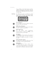
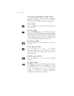
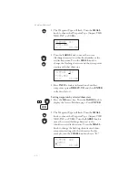
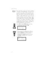
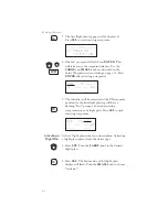
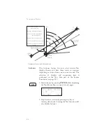
1. Press DB. Turn the LARGE knob to the Create
User Wpt page. Then, press ENTER.
Create User Wpt
by Lat/Lon
Press ENTER
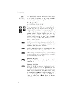
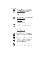
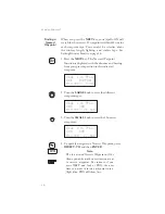
2. The pound sign (#) will flash in front of the next
number available for your USER waypoint. You
can press ENTER now to save your present
position with the displayed name or you can use
the LARGE and SMALL knobs to change the
information.
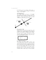
#001
USER
43°13.21N Rwlen
122°54.89W 000’
17
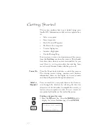
Getting Started
ENTER
ENTER
DB
Содержание Apollo GX 50
Страница 1: ......
Страница 17: ...I 270 K 270 L 270 M 270 N 271 O 272 P 272 R 272 S 273 T 273 U 274 V 274 W 274 xv ...
Страница 18: ...xvi ...
Страница 88: ...Notes 70 Moving Map Functions ...


