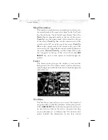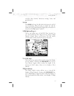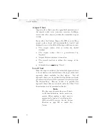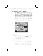
Terrain
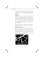
The Terrain option allows you select the display of
topographical features. Pressing the
LINE SELECT
key
next to the
Terrain option toggles between sectional
(absolute), terrain awareness (relative), or no display of
topographical features. The sectional (absolute) display
shows a display similar to a sectional map. The terrain
awareness (absolute) display shows a color coded view
where the colors relate to terrain elevation relative to your
altitude. For more information about the terrain
awareness option, see the Terrain function section on
page 64. When you turn the Terrain feature off, the
background is either black or white depending on your
selection in the Invert option. When no terrain data is
available, the missing areas will be shown in light blue.
Water will not be shown in relative mode. Review the
Limitations section on page iv.
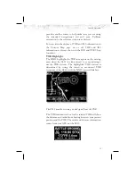
Obstructions
Obstructions, such as towers and other man-made objects,
are part of the MX20 updateable database. Obstructions
over 250 feet high are shown on the maps with tower
symbols. The symbol is color coded to signify the relative
altitude of the tower to your aircraft’s altitude and follows
the same conventions as the color coding for terrain.
Objects that are at your altitude are shown in red; objects
that are near your altitude are shown in yellow; objects
with towers that are significantly below your altitude
colored green. Obstructions are shown on the Custom
Map and in the Terrain function. For info on color
coding, see the section about the Internal MX20-Based
Terrain on page 64. Review the Limitations section on
page iv.
Current coverage for obstructions is North America only
and are drawn only when the zoom level is below 50nm.
35
Detailed Operation

