22
GPSMAP
®
585 Plus
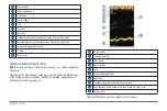
Compass
The compass uses GPS course over ground (COG) to guide you to your
destination, and does not account for other factors that can affect your
destination, such as currents and tides.
Select
Navigation Info
>
Compass
.
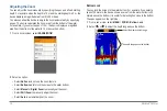
Depth and Water Temperature Graphs
If you are using a depth-capable transducer, or are receiving water depth
information over NMEA 0183, you can view a graphic log of depth readings
over time. If you are using a temperature-capable transducer, or are receiving
water temperature information over NMEA 0183, you can view a graphic log
of temperature readings over time.
The graphs scroll to the left as information is received.
Before you can view the depth data graph page or temperature graph page,
you must add the page to your home screen (page 5). Select Depth Data
Graph or Temperature Data Graph
.
Charts and 3D Chart Views
The charts and 3D chart views that are available depend on the map data and
accessories used.
You can add charts and 3D chart views to the home screen (page 5).
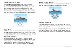
Navigation Chart
: Shows navigation data available on your pre-loaded maps
and from supplemental maps, if available. The data includes buoys, lights,
cables, depth soundings, marinas, and tide stations in an overhead view.
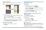
Perspective 3D
: Provides a view from above and behind the boat (according
to your course) and provides a visual navigation aid. This view is helpful
when navigating tricky shoals, reefs, bridges, or channels, and is beneficial
when trying to identify entry and exit routes in unfamiliar harbors or
anchorages.
Содержание GPSmap 585 Plus
Страница 1: ...Owner s Manual...
Страница 8: ...vi GPSMAP 585 Plus...
Страница 66: ......
Страница 67: ...X O O O O O X X O O O O X O O O O O X O O O O O SJ T11364 O GB T26572 X GB T26572...


