A
B
GPSMAP 185 Sounder Getting Started Tour
The GARMIN GPSMAP 185 Sounder is a powerful electronic navigation and
depth sounding system that provides detailed chart coverage and convenient con-
trol of many advanced features right from the screen display. This tour is designed
to take you through the basic pages and functions of the system using the simula-
tor mode. Once youre familiar with the main pages and functions of the unit, refer
to the reference section for instructions on performing specific tasks and functions.
The Getting Started tour assumes that the receiver has been properly installed
and initialized, and you have not changed any of the default unit settings. If you
have changed any settings (position formats, units of measure, etc.), the descrip-
tions and pictures in the tour may not match your configuration.
To turn the GPSMAP 185 Sounder on:
1. Press and hold the
P
key until the power tone sounds. The welcome page will appear
while the unit conducts a self test.
2. Once the self test is complete, press the
T
key to acknowledge the mariners warning.
The satellite status page will appear as the receiver begins acquiring satellites.
From the status page, you may also adjust the screen contrast and backlighting.
To adjust the screen contrast:
1. To increase the screen contrast, press the right arrow of the
R
keypad.
2. To decrease the screen contrast, press the left arrow of the
R
keypad.
3. Press the
T
key to finish.
The GPSMAP 185 Sounders three-level screen backlighting is controlled with
P
key, and may be adjusted at any time from any page.
To turn on and adjust the backlighting:
1. Press the
P
repeatedly until the backlighting is at the desired level (off, 1, 2, or 3).
3
GETTING STARTED
Power On/Screen Contrast
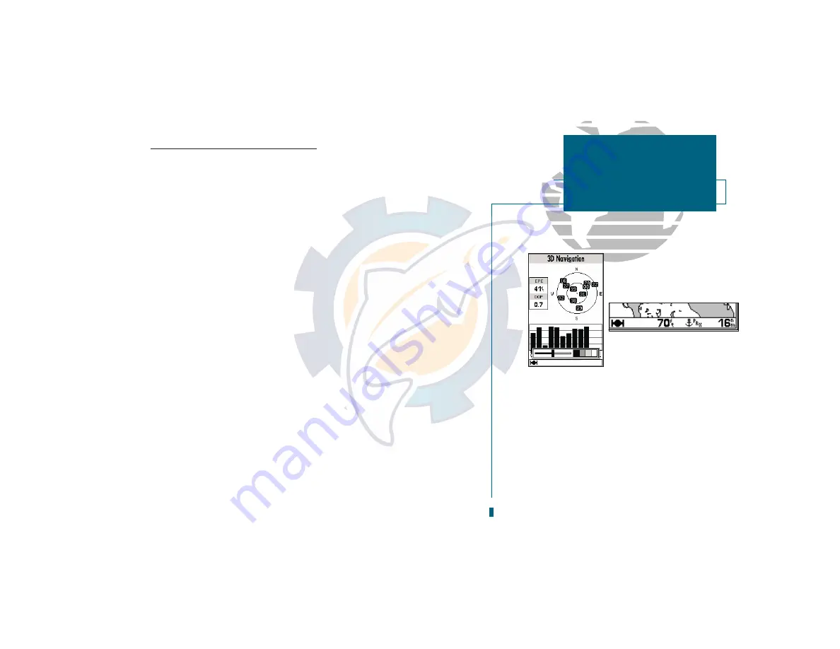
A. The screen contrast may be adjusted from the
status page by pressing the ARROW KEYPAD.
Press EDIT/ENTER to confirm changes.
B. The status bar at the bottom of the screen is
displayed at all times. It continuously shows
current depth and displays icons which show
what mode the unit is in, satellite signal pres-
ence, and which alarms (if any) have been trig-
gered. The current scale will also be displayed if
you are viewing the naviga
tion or map page, or
if you are using the sounder zoom function.


