5-10
WPT
*Plus WPT softkey, if
needed
JKL
4
ABC
1
From your starting location at the “GARMIN” waypoint you may plot a course
and navigate to a nearby airport. For this sample trip you will fly to KCOU,
Columbia Regional Airport (N38° 49.078' W92° 13.175'). Before you can
navigate to this waypoint it must be added to the GPS 95's memory.
To create the “KCOU” waypoint...
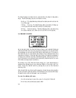
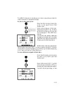
Press WPT and the WPT softkey, if
needed, to select the Waypoint
Definition Page.
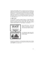
Press the right arrow key to place the
cursor on the waypoint identifier field.
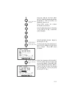
Enter the waypoint identifier, KCOU,
using the alphanumeric and arrow
keys. Begin by pressing the “4” key to
select the letter “K”.
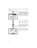
Press the “1” key, followed by the right
arrow key, to select the letter “C”.
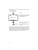
Continue pressing the alphanumeric
and, if needed, arrow keys until the
waypoint identifier has been entered.
Press ENT when complete.
*Continue pressing the
alphanumeric and arrow
keys, if needed, to select
waypoint identifier
ENT


