Record2 can be set manually and is linked to the HydroSurvey software when used
in conjunction with the software.
Record3 and RECORD4 are reserved for use.
The data download : Download the measurement data stored in the depth
sounder, and select the corresponding date data to download.
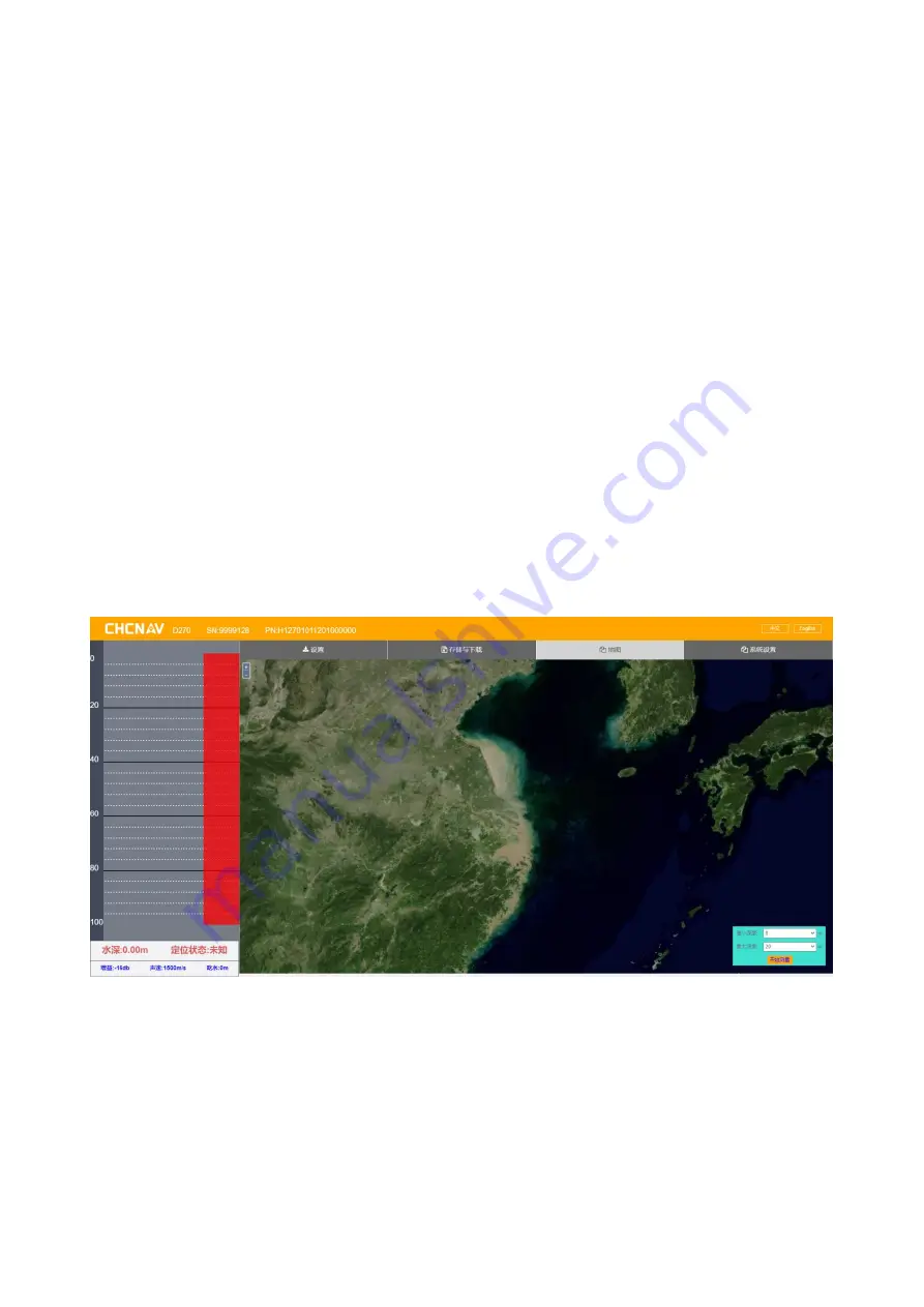
3.3 The map
The satellite map of the current location can be loaded after connecting to
external WIFI in the communication Settings.
Содержание D270
Страница 1: ...D270_User_Manual...
Страница 21: ...Figure Sample Figure Generate the HTT file...
Страница 23: ...Figure Export a custom format...


