Coordinate system
Several coordinate systems can be used to control the format for latitude and longitude
coordinates displayed on the chart panel.
Phantom Loran
Enables use of Phantom Loran positioning system.
Loran settings
Defines Loran chains (GRI) and preferred station for waypoint entry, cursor position and
position panel.
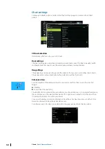
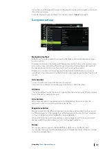
The graphic example shows a cursor position window with Loran position information.
For more information refer to your Loran system documentation.
42
Navigating
| Zeus2 Operator Manual
Содержание Zeus2 series
Страница 1: ...ENGLISH Zeus2 Operator Manual bandg com ...
Страница 2: ......
Страница 114: ...Find Search function for chart items waypoints routes tracks etc 114 Tools Zeus2 Operator Manual ...
Страница 125: ......
Страница 126: ...0980 988 10599 003 ...

