Garmin GPSMAP 2008, Owner'S Manual
The Garmin GPSMAP 2008 is a versatile and reliable navigation device, offering seamless tracking and precise directions for your outdoor adventures. With its comprehensive Owner's Manual available for free download on our website, explore its full potential and unlock the power of this remarkable GPS device.
Share
Download


Reviews:
No comments
Related manuals for GPSMAP 2008
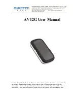
AV12G
Brand: Awetek Pages: 7

GPSMAP 8 10 Series
Brand: Garmin Pages: 204

RT-Backpack
Brand: OXTS Pages: 16

TG-BT5-IN
Brand: MikroTik Pages: 19
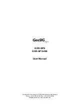
GXR-GPS
Brand: GeoSIG Pages: 12
GO6
Brand: Geotab Pages: 96

Loc8tor
Brand: Loc8tor Pages: 6

T920A
Brand: AIRIS Pages: 45

LC-90 Mark-II
Brand: Furuno Pages: 2

TZTBB
Brand: Furuno Pages: 44

550
Brand: RightWay Pages: 56

Toucan N Series
Brand: nimble Pages: 2

Mobilo
Brand: I-Cane Pages: 22

NavOne 2950
Brand: Cobra Pages: 24

LMS-520C
Brand: Lowrance Pages: 252
Smart Tracker
Brand: Yepzon Pages: 13

LMU-5541
Brand: CalAmp Pages: 21
SageTracker Guardian
Brand: Sageplan Pages: 4


