


43
Trail Tech Voyager
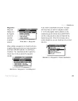
Load street maps into Voyager:
www.openstreetmaps.org
First, fi nd the roads you want to
upload into Voyager. You should
only select the small area around
the planned ride, to reduce the fi le
sizes.
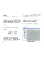
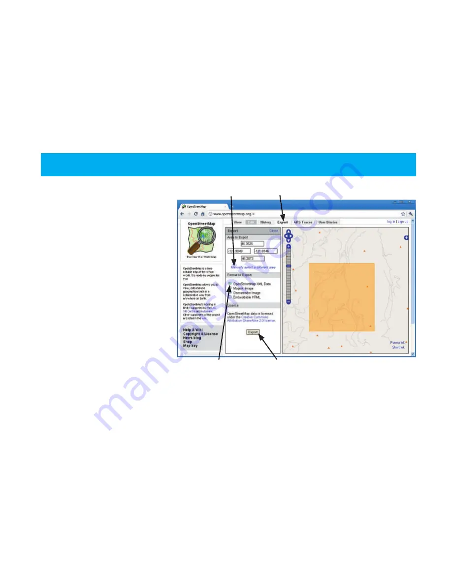
1. Go to Openstreetmaps.org.
2. Go to the Export tab.
3. Click on “Manually select a
different area.”
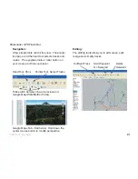
4. Click and drag a box on the
map that contains the roads you
want to upload to Voyager.
5. Click the Export button.
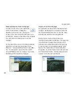
The fi le will export in .OSM format which needs to be converted to .GPX for Voyager. Open the fi le
in RideLeader, then save as .GPX. Consider deleting excess waypoints and fi ltering down track data
points in RideLeader before saving the .GPX fi le (fi ltering allows Voyager to load many more tracks.)
OpenStreetMaps.org
Openstreetmaps.org
Export Tab
Export Tab
Manually Select
OSM XML Data
Export Button
Summary of Contents for Trail Tech
Page 1: ...MOTO GPS...