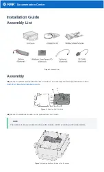
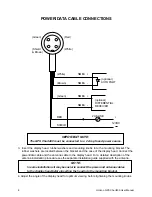
14
Horizon GPS Chart400 User Manual
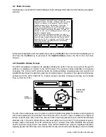
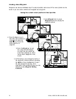
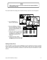
Markers and Navigation Aids
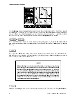
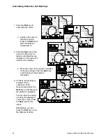
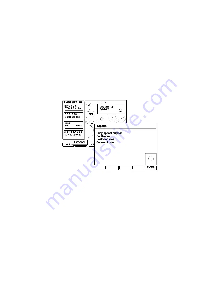
Detailed information explaining markers and navigation aids can be displayed by positioning the
cursor over the particular symbol of interest. The diagram below shows three examples of symbols
typically found on CMAP NT charts. Once the cursor is moved near a symbol, such as the buoy in
this example, a small window appears displaying data in short form. To increase the amount of data
available press the Expand key and use the cursor keys to step through the various information
pages.
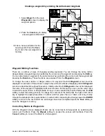
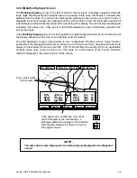
The SSh symbol shown in the example below indicates the type of sea bed (sand, shells). This can
be expanded as described above.
In some areas information (!) symbols are also displayed. These are only present in attention areas.
See section 3.3, 4. Map Configuration for a further explanation of attention areas.
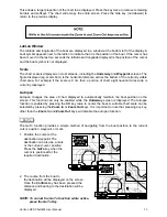
Note: Marker and navigation information can only be expanded from the
Underway screen
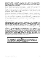
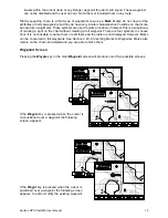
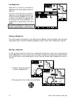
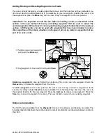
3.23 Waypoint Screen
The Waypoint screen is used to create and edit waypoints and routes. It can also be used to calculate
distances between locations on the chart. In addition to the usual Zoom In and Zoom Out keys three
additional keys are provided to give access to the following functions.
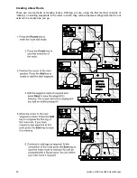
Waypoints
Waypoints can be created, saved, deleted and moved. The following diagrams illustrates these
functions.
There are two types of waypoints.
1. A conventional waypoint which is a location saved as a latitude and longitude. These
waypoints have all the features usually associated with waypoints. You can GoTo them, include
them in routes and they can be moved, deleted or renamed.
2. A Danger waypoint. These are locations you wish to avoid. Any normal waypoint can be
designated a Danger waypoint. All Danger waypoints are permanently active. If the vessel