Rand McNally Foris
TM
User Manual
18
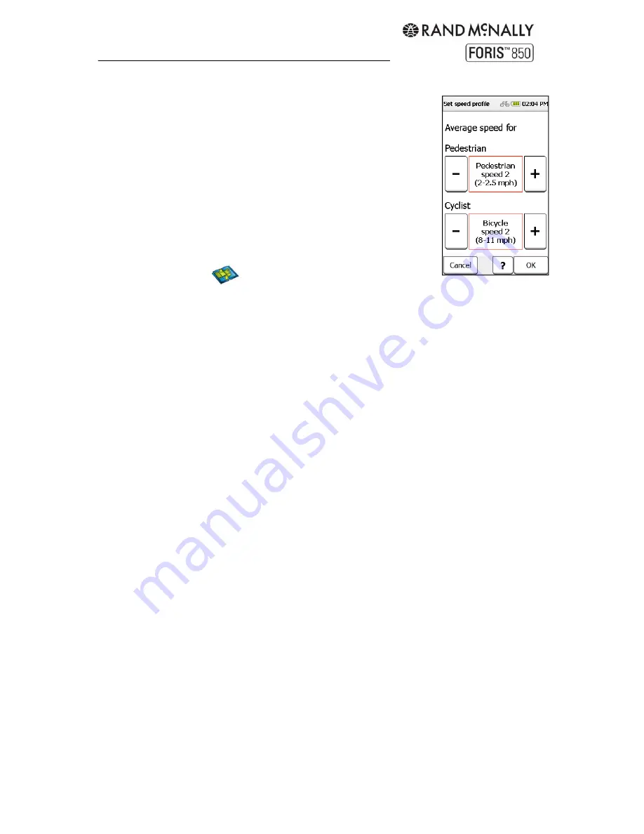
6.1.3 Speed profile
Set your average speed to calculate the arrival time and total travel
time more exactly. Set separately for bicycle/pedestrian. Use the
plus and minus buttons and tap "OK" to save.
6.1.4 Ask about route options
If this function is activated, the device verifies the route options
above before each route calculation. Disable this verification if the
route options change infrequently.
6.2 Map Display
6.2.1 Map perspective: 2D/3D
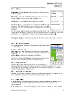
Choose a two-dimensional (like a printed map) or three-dimensional (like a video camera)
representation of the map.
6.2.2 Map oriented: Direction up / North up
Select whether to orient the map in the direction of movement, so that the positional arrow
always points upward, or to the north, so that the positional arrow stays in the middle of the
screen and rotates according to direction.
6.2.3 Position on street: On / Off
Specify whether your current position should be shown on the nearest road or trail. (Note: It
is important to turn this setting off for geocaching or navigation in open terrain.)
6.2.4 City names on map On / Off
Controls labels on the map.
6.2.5 Auto zoom: On / Off
Auto zoom adjusts the map view automatically based on position and speed—the map
zooms out at higher speeds. Switch off to set the scale yourself.
6.2.6 POIs on map
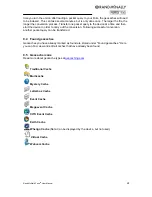
Choose which points of interest to display as small icons on the map. Check off categories to
display those icons.
6.2.7 Track recording on map: On / Off
Specify whether to show the current track being recorded on the map. See Chapter 11 for
more information on track recording.
6.2.8 Arrange menu
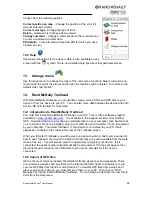
Use "Arrange menu" to change the order of the menu functions within the map display
settings. Select a function and move it with the aid of the arrows on the right. No functions
will be deleted. To restore to the default order, tap "Reset."
Summary of Contents for Foris 850
Page 1: ...User Manual ...


